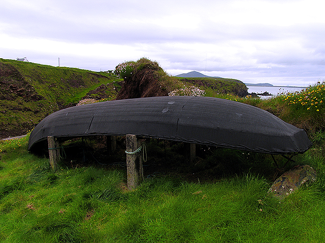
Add your own picture and explain the route, parking, gates, paths or landmarks that help people find it.
Earn 5 points after the picture is checked and accepted.
Add your photo and local directionsShare what you foundWhat is recorded here
Levelled monument described in 1985 by the Castleisland District Archaeological Survey as no surface remains visible of monument which according to the landowner had been levelled c. 1974 (SMR File). Modern agricultural buildings stand on the footprint of the enclosure which are visible on Digital Globe orthoimage taken between 2011-13.
See attached Google Earth orthoimage taken 03/04/2021
Compiled by: Caimin O'Brien
Date of upload: 25 April 2022
The monument record does not grant public access. Check the route and ask the landowner before entering private land.