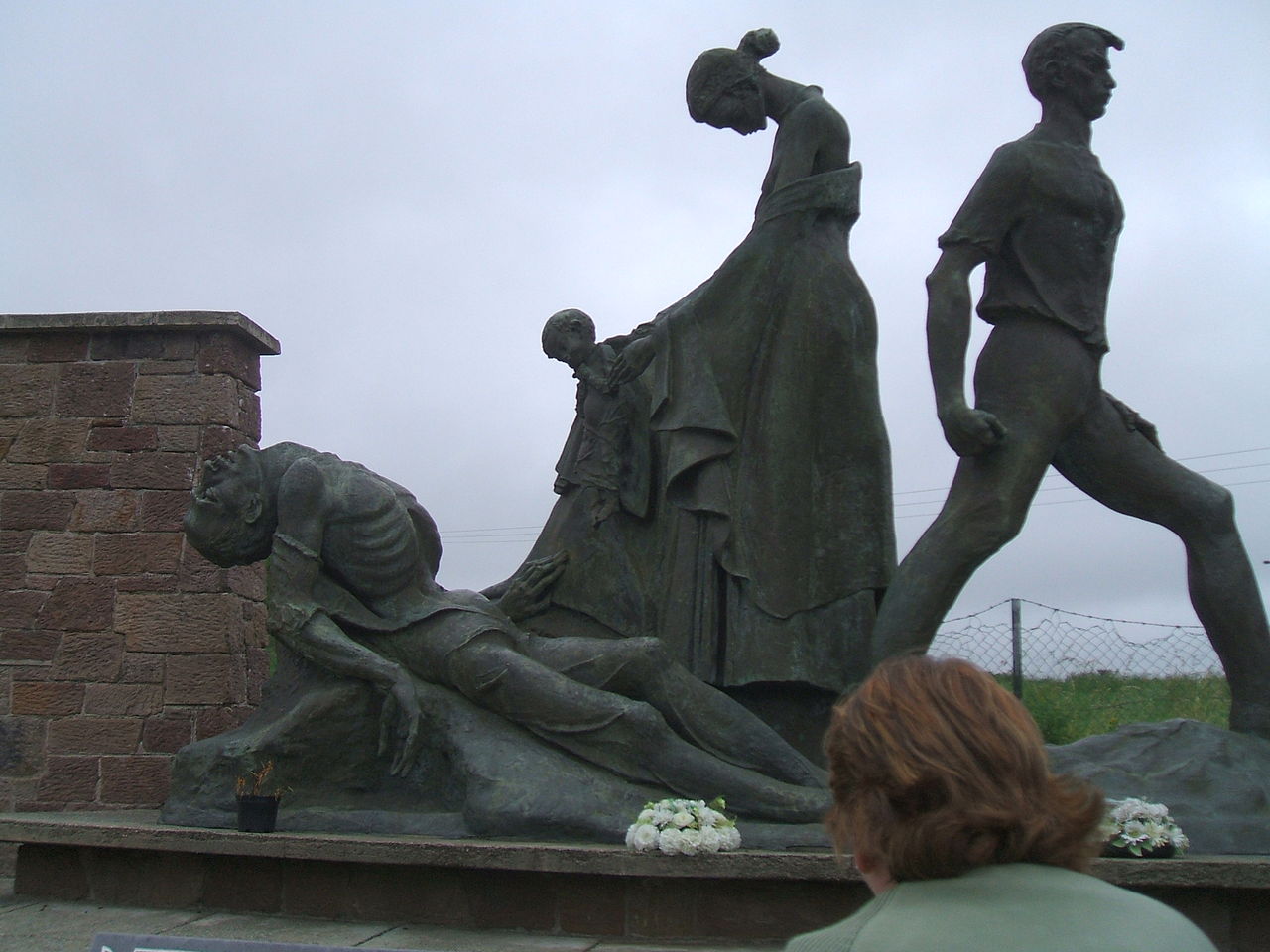
Add your own picture and explain the route, parking, gates, paths or landmarks that help people find it.
Earn 5 points after the picture is checked and accepted.
Add your photo and local directionsShare what you foundWhat is recorded here
'Located on top of a limestone reef outcrop that rises sharply from the east and south but slopes more gently down to the west and runs along level ground into Ballyseedy Wood. The site affords spectacular view of the Sliabh Mis and Tralee Bay to the south, south-west and west. In effect the site is located on a limestone spur that runs out from Ballyseedy wood towards the south. Small intermittent stretches of low, predominantly stone banks, incorporating bed rock outcrop, delimit a semi-circular, horse-shoe shaped area. These stretches of bank are very short, on average 2m and occur irregularly. The average height of the banks is only 0.3m and width is 2.2m. Inside the site are a number of low humps which probing suggests are small, low cairns of stone, possibly clearance. Aerial photography clearly shows the site, which measures 75m N-S and 60m E-W at the point where it meets the woodland.'
Description from ‘The Prehistoric Settlement of the Lee Valley, Tralee, Co. Kerry; A Landscape Perspective’ by Michael Connolly. PhD Thesis UCC 2008
Date of upload: 20 June 2012
The monument record does not grant public access. Check the route and ask the landowner before entering private land.