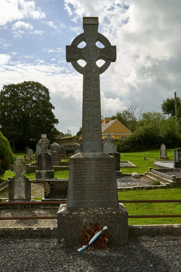
Add your own picture and explain the route, parking, gates, paths or landmarks that help people find it.
Earn 5 points after the picture is checked and accepted.
Add your photo and local directionsShare what you foundWhat is recorded here
'Located on the top of a limestone outcrop that rises sharply from the north, sloping more gradually down to the east, west and south, the site affords panoramic views to the south, east and west. The view to the north being obscured by Ballyseedy Wood. The site is difficult to trace at ground level, though low remains of a stone and earth bank can be seen to the south-west and east. This bank is on average 6.8m wide and 0.4m in external and internal height, at the east, there are indications of a possible internal ditch, 2.3m in width. Aerial photography suggests that the site is sub-circular, encompassing much of the plateau like surface of the reef and measuring approximately 98m N-S and 120m E-W. Two smaller enclosures/huts show up inside the larger enclosure on aerial photography. These features are impossible to trace on the ground and measure approximately 8-10m in diameter.'
Description from ‘The Prehistoric Settlement of the Lee Valley, Tralee, Co. Kerry; A Landscape Perspective’ by Michael Connolly. PhD Thesis UCC 2008
Date of upload: 20 June 2012
The monument record does not grant public access. Check the route and ask the landowner before entering private land.