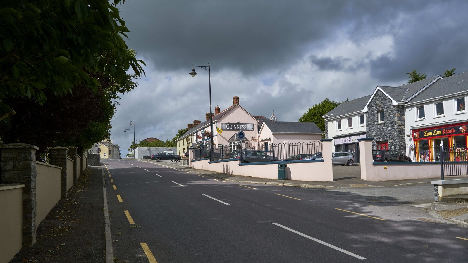
Add your own picture and explain the route, parking, gates, paths or landmarks that help people find it.
Earn 5 points after the picture is checked and accepted.
Add your photo and local directionsShare what you foundWhat is recorded here
This site was first noted on colour aerial photography and, while sections of the enclosing bank were visible on the ground in 1997, much of this bank has now been destroyed by land gradual land improvements. The site is located on a raised platform like area with outcrops of bedrock occurring intermittently around the perimeter. A low stone and earth bank, on average 1.8m wide and 0.30m high ran between and incorporated these bedrock outcrops. The bank was visible to the north, west and, intermittently, to the south. At the east the site was cut by a field wall and any evidence of the site in the adjacent field had been removed in the course of improving that land. Since 1997, this site has been gradually destroyed to a point where only short stretches of the enclosing bank and the rock outcrops are still visible. Total diameter of this large enclosure is 198m N-S.
Above description is from 'Tralee Area Monument Catalogue' part of a PhD thesis submitted by Michael Connolly to UCC.
The monument record does not grant public access. Check the route and ask the landowner before entering private land.