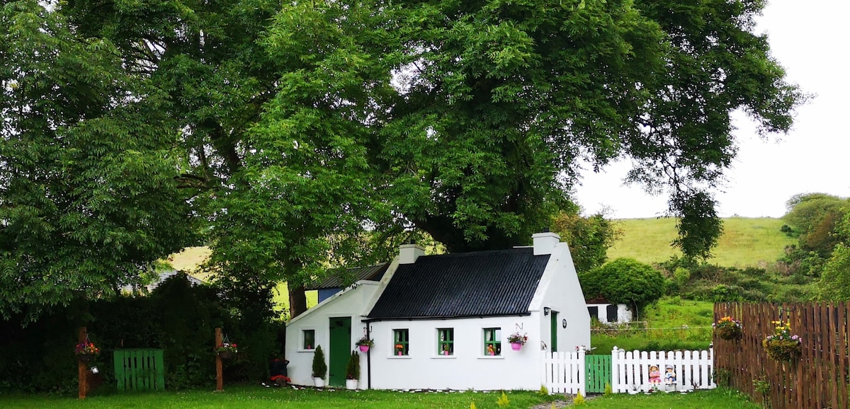
Add your own picture and explain the route, parking, gates, paths or landmarks that help people find it.
Earn 5 points after the picture is checked and accepted.
Add your photo and local directionsShare what you foundWhat is recorded here
According to Cuppage (1986, 81-2, no. 259), 'Four or 5 sub-rectangular or D-shaped structures [(KE037-048002-, KE037-048003-, KE037-048004-, KE037-048005-, KE037-048006-)] abut the inner face of the wall. These survive as depressions lined by collapsed walling, and the largest [KE037-048002-] measures 2.25m x 1.6m internally x 1.2m in depth. Another D-shaped foundation [KE037-048003-] abuts the outside of the wall, a little N of the S entrance. It measures 2m x 2.75m internally and its wall is up to .4m high. Another large D-shaped depression [KE037-048004-] in the external collapse, to S of the same entrance, may be a relatively recent sheep-shelter'. Though Cuppage (ibid.) mentions 'four or 5', only four are shown on fig. 55, p. 82. However, a plan in P.J. Lynch's 1899 article (fig.'Map plan of fort', p. 13) shows the fifth structure, to the S of the S entrance, and abutting the outside of the promontory wall. The structures have been identified in as much as is possible, given the information provided by Cuppage and Lynch. However, a brief inspection of the structures may be necessary to clearly identify and match the structures shown on the plans with the measurements provided by Cuppage.
The monument record does not grant public access. Check the route and ask the landowner before entering private land.