Add your own picture and explain the route, parking, gates, paths or landmarks that help people find it.
Earn 5 points after the picture is checked and accepted.
Add your photo and local directionsShare what you foundWhat is recorded here
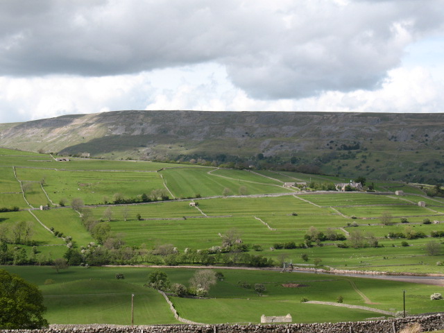
Situated at N end of a large area of rough grazing. Established forestry lies just to the N. Close to the base of a long N-facing slope with extensive views N to Tralee Bay. Overgrown with bracken and briars and semi-ruinous but in a stable condition. Known locally as a famine village, which probably also included the concentration of hut sites to the southwest in Duagh. A large area c. 2-3 acres in extent, of cultivation ridges or ‘lazy-beds’ contained within two enclosed fields surrounded by stone and earth boundaries (Wth c. 2m; H c. 0.6m). Close to the W boundary was the rectangular foundations of a dwelling (KE036-119----) orientated north-south which is not shown on any of the OSi maps, suggesting it was ruined already by the time of the 1841 ed. OSi 6-inch map. This building had an entrance on the E side but it is levelled to the foundations. This probably pre-dated the cultivation ridges as they had been constructed right up against the foundations.
See attached images courtesy of Tony Miller
Compiled by: Caimin O’Brien based on details provided by Tony Miller
Date of upload: 23 February 2022
The monument record does not grant public access. Check the route and ask the landowner before entering private land.