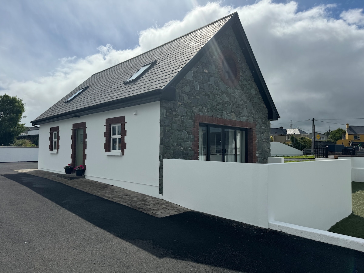
Add your own picture and explain the route, parking, gates, paths or landmarks that help people find it.
Earn 5 points after the picture is checked and accepted.
Add your photo and local directionsShare what you foundWhat is recorded here
(u) Hut: Located on a gentle N facing slope only a few metres S of the modern field system, this circular hut foundation measures 4.5m in diameter internally and there is a 1.7m wide entrance gap at N. Internally the wall face is constructed of low uprights up to .6m high, with drystone walling filling some of the interstices. The outer face is partly obscured by collapse and uncut peat but is constructed for the most part of horizontally-laid slabs interspersed with a few upright slabs; the wall is 1.1m thick. The peat cover in this area is only .25 to .3m deep and in the interior of the hut is only .1 to .15m deep.
The above description is derived from J. Cuppage, ‘Corca Dhuibhne. Dingle Peninsula archaeological survey. Ballyferriter. Oidhreacht Chorca Dhuibhne’ (1986), no. 25. In certain instances the entries have been revised and updated in the light of recent research.
Date of upload: 3 August 2013
The monument record does not grant public access. Check the route and ask the landowner before entering private land.