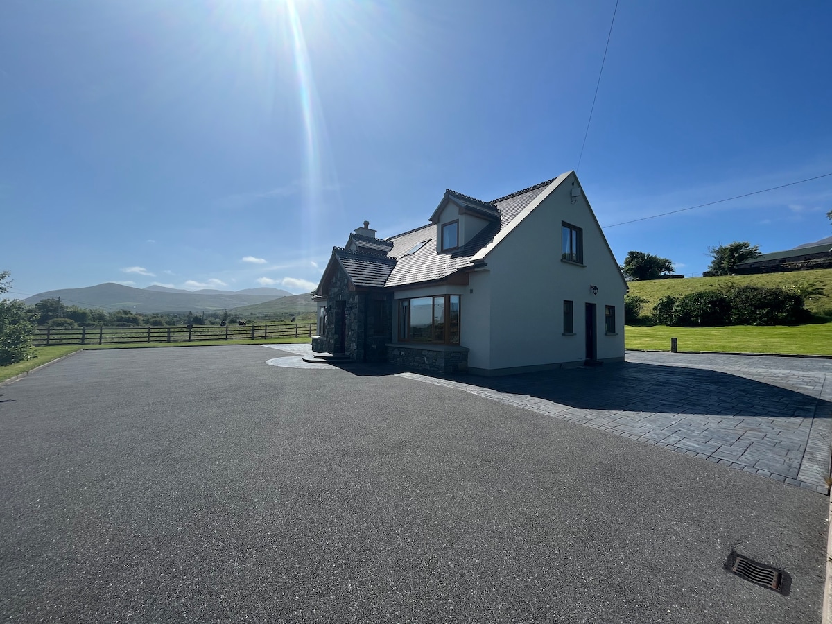
Add your own picture and explain the route, parking, gates, paths or landmarks that help people find it.
Earn 5 points after the picture is checked and accepted.
Add your photo and local directionsShare what you foundWhat is recorded here
KE035-040---- is one of a pair of earthen-banked raths situated within 200m of each other on the SE facing slopes of Drom Hill (334 feet/102m), overlooking the estuary of the Glennahoo and Scorid rivers.
A circular stone hut (KE035-040001-), 4.6m in internal diameter, is built against the inner stone face of the bank at WSW. Only the NW half of its wall is traceable. It stands to a maximum height of 1.4m and is slightly corbelled. The remainder of the interior of the fort is strewn with loose stone but no structures are discernible. In the SW quadrant a length of drystone masonry, extending 4m from the bank towards the centre, retains a terrace on its N side; the function of this feature is unclear.
The above description is derived from J. Cuppage, ‘Corca Dhuibhne. Dingle Peninsula archaeological survey. Ballyferriter. Oidhreacht Chorca Dhuibhne’ (1986), no. 399. In certain instances the entries have been revised and updated in the light of recent research.
Date of upload: 6 August 2013
The monument record does not grant public access. Check the route and ask the landowner before entering private land.