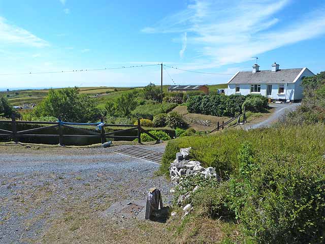
Add your own picture and explain the route, parking, gates, paths or landmarks that help people find it.
Earn 5 points after the picture is checked and accepted.
Add your photo and local directionsShare what you foundWhat is recorded here
National Monument No. 10031. Internal diam. 23.5m N-S, 26m E-W. Lisnagraigue/Lios na Gráige: A roughly circular rath containing a well-preserved clochaun and other unexplained features. It is situated on a gentle W facing slope at the base of Brandon Mountain. The earthen enclosing bank is revetted internally with drystone walling which survives intermittently to a maximum height of 1.4m. Externally the bank averages 2m in height, and it is 3.4m wide at base. The 1.3m wide entrance gap faces WSW and is lined on either side with drystone walling. The revetment walling along the W section of the bank, N of the entrance, is less well constructed than the remainder and may represent a later rebuilding. In the same sector a short stretch of stone facing occurs high up on the outer face of the bank. A stream flows around the outer edge of the bank except to W where it is interrupted by a silage pit. The drain or gully through which it flows is probably a fairly recent feature but may follow the line of an earlier fosse; there is no trace of this gully along the N part of the site.
The centre of the enclosure is occupied by a fairly well-preserved, circular clochaun KE034-029001-. It measures 4m N-S x 3.8m E-W internally and its corbelled wall is up to 1.8m high. The entrance faces SW and is .75m wide and 1.2m long. Two wall cupboards occur one above the other at NNW.
There are also a number of unexplained features in the interior of the enclosure: a stone set on edge 2.8m from the entrance, 3 large boulders lying near the bank at S, a small raised area of stone and earth abutting the bank immediately S of the entrance, and a slightly raised area of grass-covered stone collapse between the entrances to the enclosure and the clochaun.
The above description is derived from J. Cuppage, ‘Corca Dhuibhne. Dingle Peninsula archaeological survey. Ballyferriter. Oidhreacht Chorca Dhuibhne’ (1986), no. 298. In certain instances the entries have been revised and updated in the light of recent research.
Date of upload: 6 August 2013
This remains an important historical record, but the official description says the monument is no longer visible or has been destroyed.
The monument record does not grant public access. Check the route and ask the landowner before entering private land.