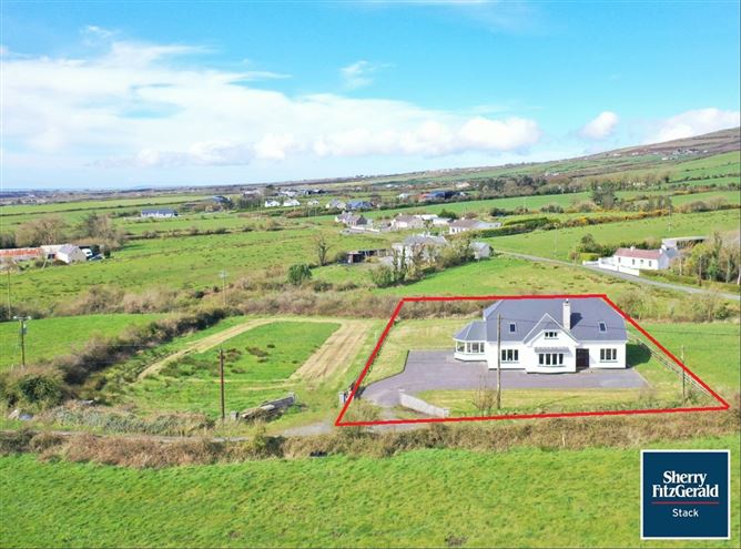
Add your own picture and explain the route, parking, gates, paths or landmarks that help people find it.
Earn 5 points after the picture is checked and accepted.
Add your photo and local directionsShare what you foundWhat is recorded here
'This recorded site is described in the RMP manual as an enclosure. It is not marked on any edition of the OS and must originally have been identified from aerial photography. The site is located at an elevation of 35m on the top of a limestone ridge that runs east-west through the townland of Ballingowan. The site affords expansive views in all directions particularly to the north-east where the three main peaks of the Stacks Mountains and the pass between Kilmore and Ballincollig Hill can clearly be seen, and to the southern half of the compass, where the full expanse of the Sliabh Mis from Baurtregaunm in the west to Knockawaddra in the east dominate the skyline. Of particular note is the way the view of the more easterly and larger cairn on the saddle below the summit of Knockawaddra is underlined by a mountain spur in the foreground, which would block the view of the cairn from a lower elevation.The site itself is very denuded but is clearly visible. The enclosing element is a very flattened stone and earth bank, best preserved at the north where it is 5.5m wide, 0,60m high externally and 0.40m high internally. On the western side this bank has been incorporated into a curved field boundary and material from the bank has been scraped together to form a field bank. On the eastern side the bank takes the form of an enhanced scarp, where the natural slope of the land down to the east has been utilised. At the south the site is cut by an east-west running field wall and underlying bank, which forms the northern side of a large oval enclosure not recorded on the RMP [KE029-251----]. There are no visible internal features and no evidence of a ditch either internally or externally. The site has internal dimensions of 72m N-S and 71m E-W.'
Description from ‘The Prehistoric Settlement of the Lee Valley, Tralee, Co. Kerry; A Landscape Perspective’ by Michael Connolly. PhD Thesis UCC 2008
Date of upload: 20 June 2012
The monument record does not grant public access. Check the route and ask the landowner before entering private land.