Add your own picture and explain the route, parking, gates, paths or landmarks that help people find it.
Earn 5 points after the picture is checked and accepted.
Add your photo and local directionsShare what you foundWhat is recorded here
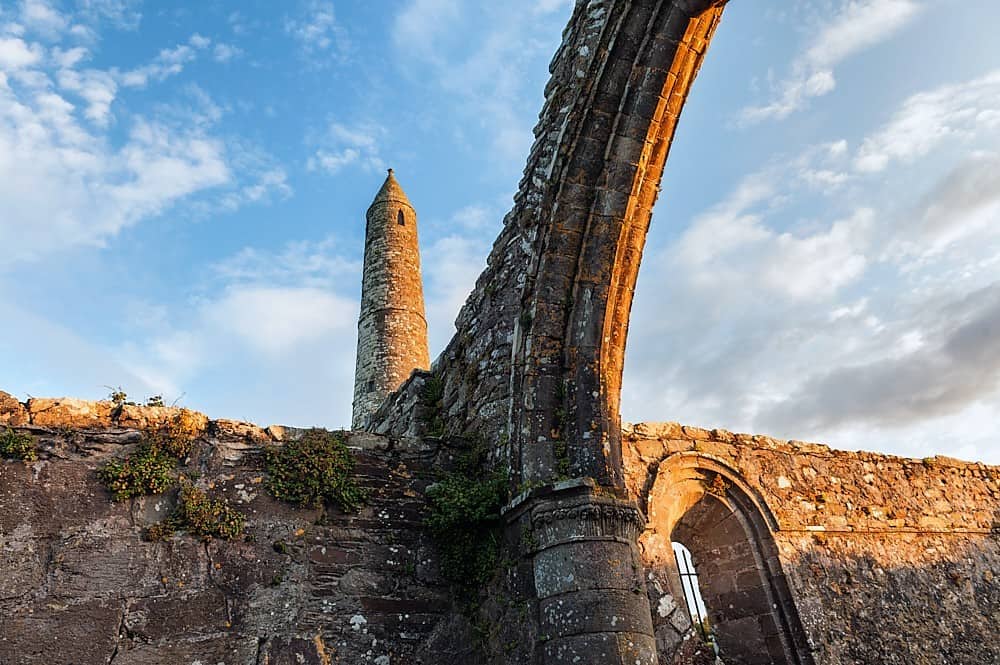
Graveyard survey carried out in 2012 by Laurence Dunne identified the precise location of the site of the round tower. Site of round tower described by Dunne (2012, 3, 20, 33) as; 'The complex also contained a 36m high round tower that collapsed in 1771. A few in situ stones corresponding to the basal courses of the round tower are still discernible today as well as a number of ex situ ones scattered around the immediate area. A 19th century tomb (No. 38) [belonging to the Harmon family] partially extends over the round tower site (Barrington 1976, 252).
Round tower described by Toal (1995, no. 971) as; 'It is difficult to obtain an accurate description of the tower from the various 17th and 18th century sources, which vary greatly in their accounts. The earliest reference we have to the tower is on a drawing by Henry Pratt in 1697; it is marked as one of the buildings on the Ardfert ecclesiastical site. Charles Smith (1756) states that 'opposite to the west of the cathedral stands one of the ancient round towers, near a hundred feet high, built mostly of a dark kind of marble, which is the first I have met with, that was not composed of freestone. The door of this tower faces the west entrance of the cathedral, that the penitents who were formerly enclosed therein might receive the pardon and prayers of the congregation as they went in and out of the church.' O'Halloran (1778) writes of the tower as being 120 feet high, as does the author of A Tour through Ireland (1780). The tower was found by Dr Pococke (c 1853) to have measured 150 feet in height. The Parliamentary Gazetteer of Ireland states that the round tower had a slated roof and was 120 feet in height. While there were quite a few discrepancies as regards the height of the tower, similar confusion arose with regard to its destruction. O'Halloran (1778) states that it fell down in 1771. In Gough's Camden's Britannia (1789), he states that it 'being neglected fell to the ground 1771'. Dr Beaufort in his Memoir of the Map of Ireland (1792) talks of it 'tumbling at one crash into a heap of ruins' in 1770. Seward in Topographica Hibernia supports a 1770 date but states that 'a great part of it fell', not, as Beaufort had suggested, that the entire tower had come tumbling down. De Latocnayne (1796) states: 'it crushed itself, if the expression may be used, some twelve or fifteen years ago. I say “crushed” because one would expect that such a building would naturally fall to one side or other, but in this case the stones appeared to tumble straight down forming a large mass on the spot where the tower had stood.' In Twixt Skellig and Scattery (1932), Ó Ríordáin gives the description that survives in local folklore: 'It was 120 feet high and weathered the storms of 3,000 years before it fell in A.D. 1771. The storm that felled it was the worst in the history of our country. Tradition says it lay intact full length towards the west – the storm blew from the east. Thus it lay several years until broken up with difficulty. It provided stones for enclosing the graveyard and building the houses of old Ardfert. Vandals drew away some of the foundation stones of the tower before the great storm, or else it would be today a proud and precious relic of our pagan past.'
Round tower described in the Urban Survey of Kerry as follows; 'A round tower stood to the west of the cathedral (KE020-046002-) until 1771 until it fell in a storm. A modern sign south-west of the cathedral states that its foundations were uncovered in 1949 (Barrow 1979, 113)' (Bradley et al. 1987, 36-7).
See attached photographs of base of round tower courtesy of Laurence Dunne.
Revised by: Caimin O'Brien
Date of revised upload: 6 May 2022
The monument record does not grant public access. Check the route and ask the landowner before entering private land.