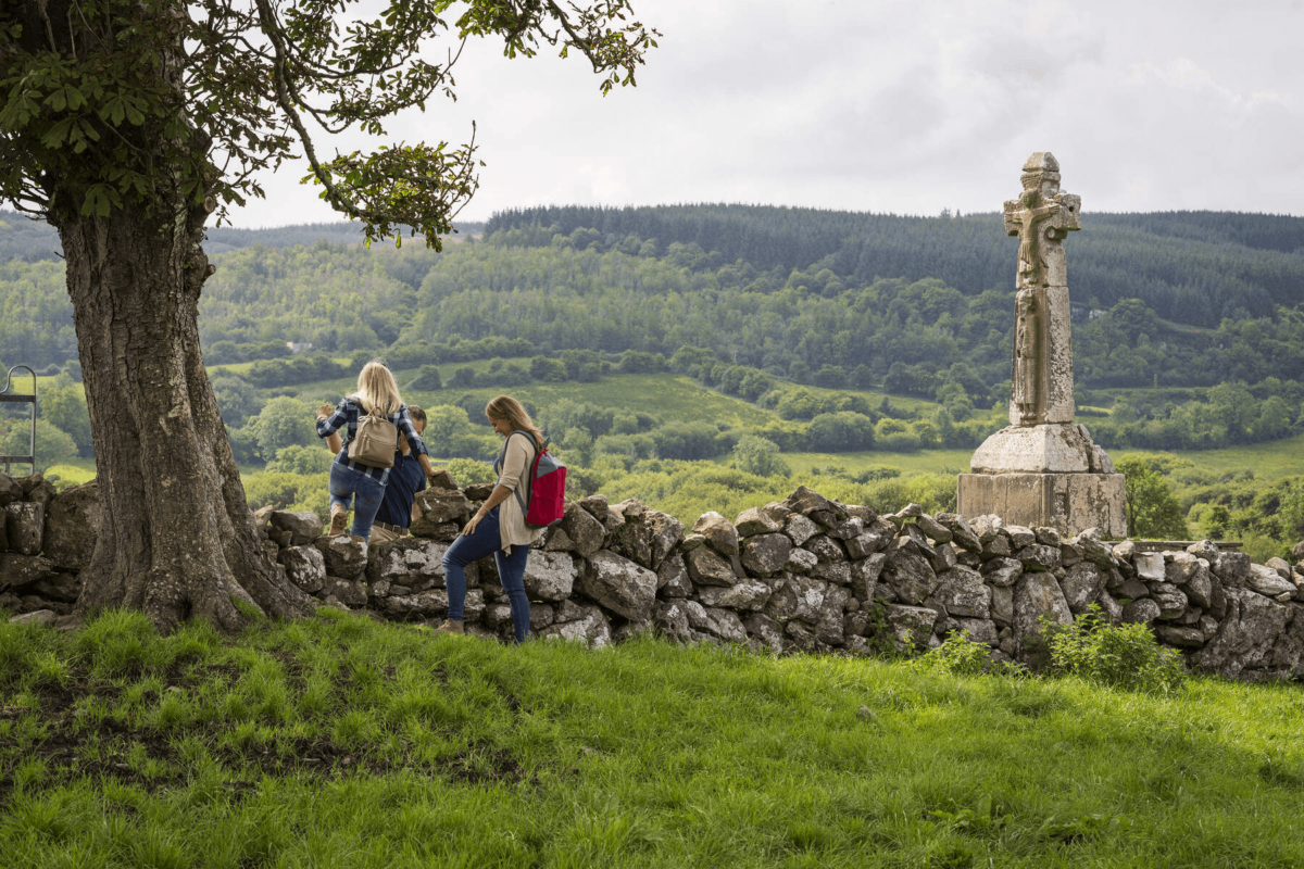
Add your own picture and explain the route, parking, gates, paths or landmarks that help people find it.
Earn 5 points after the picture is checked and accepted.
Add your photo and local directionsShare what you foundWhat is recorded here
The medieval parish church of Dysert stands in the townland of Dysert (An Díseart), parish of Dysert, diocese of Ardfert and barony of Clanmaurice. Dysert Church standing in centre of graveyard 65m W of the River Feale is depicted on the 1841 ed. OS 6-inch map. In 1302 the papal taxation of the Diocese of Ardfert valued the Church of 'Disert' at 26s. 8d. per annum with the tithe valued at 2s. 8d. (Cal. doc. Ire., Vol. 5, 297). In 1484 there is a reference to John Fitzmaurice and the perpetual vicarage of 'Dissert Odullac necnon de Monen alias Kylcannan [Kilshenane KE016-059----]' (O'Connell and Costello 1958, 33). The vicarage of Dysert was 'by ancient custom in the patronage of the abbot and convent of Rattoo [KE009-056004-]' (ibid.). In 1615 the Royal Visitation of the Diocese of Ardfert recorded the following details; 'Vicar de Killahyn [Killehenny KE004-043001-], Dysert [KE010-062----], Listohill [Listowel], Fynoiyr [Finuge KE010-080002-] and Killnyne [Kilmeen]. John Drea minister legens residet. Valoris 5 libri. He teaches school. The Bishop offers to bestow the livings upon any Incumbents as soon as they can be gott. Livings sequestered to ministers. Fruits converted to the repayne [repair] of the church' (Murphy 1915, 185). Smith (1756, 69) recorded that 'Disert rect[ory]. church in ruins . Patron, the earl of Powis. Proxy 10s. The vicarage of the same. Patron, Anthony Stoughton'.
In 1841 the Ordnance Survey recorded the following details about Dysert: 'This parish is bounded on the north by those of Rattoo, Galey and Listowel, on the south by Finnogue, Kilfeighney and Kilcara, and on the west by those of Kiltomy. It lies on the River Cassan. The name of this parish was originally Disert Ua dTriallaigh, i.e. the Desert or Hermitage of Saint O'Triallaigh, the patron of the parish. The old church of this parish is destroyed except small fragments of the side walls and west gable. Its breadth in the clear is sixteen feet [4.9m], but its length cannot be determined as the east gable has totally disappeared. The walls are two feet nine inches [0.83m] thick and built of lime and sand stone in rather a rude style, and it would not appear that the present structure is more than five centuries old. Certain it is at all events that no part of the church of Saint O'Trealy is now preserved in it. Duald MacFirbis has preserved the following story about the patron of this church in his genealogies of the Irish saints: Fearamhle, the daughter of Dioma Duff (son of Dermot, son of Senach, son of Laoghaire, son of Eochy Breac, the son of King Dathi) was the mother of the three O'Suanys, and also of Aidan of Cluain Eochaile in Corran. She was also the mother of Diclethe O'Triallaigh, whose habitation (church) is situated in the territory of Ciarraighe Luachra, and she was also the mother of Colman, the son of Eochy of Shanbo in Hy Kinsellagh. These are called the saints of the Hy-Neathach-Moy. Colman and Aidan are of the race of Eochy Breac, the son of Dathi. Dicleth O'Triallaigh, common called Triallach (the wanderer or rambler) secretly went away from Tirawley and settled at Disert O'Triallaigh on the brink of Casán Ciarraighe (River Cashen hodie). A great miracle was performed on him when he assayed to go away from his mother's sons (Buachaillidhe Mo Mháthar) on a journey to look for God (he was a seeker). They took him and bound him with an iron fetter on his head and feet and they flung the key of the fetter into the ocean. A salmon took the key into its mouth and swallowed it. Shortly after, however, Triallach stole away from Tirawley and went to Disert Triallaigh on the margin of Casán Ciarraighe Luachra, sailing in a curach without a hide (i.e. which was not covered with a hide) round the west of Ireland having the fetter tying his head to his feet, and the salmon which had Swallowed the key accompanying him until he landed (by God's assistance) in the port aforesaid at Disert Triallaigh. O'Suany and Aidan (his half-brothers) afterwards went to look tor their mother's son, but heard no account of him until they found him at length at Disert with his fetter on, hiding from those clerics who were in search of him. They were not long before they saw a fisherman approaching who dwelt at the place; he saluted the clerics and made obeisance unto them for he knew that they were in search of the saint who was in fetters. The fisherman afterwards went to cast his net for them and O'Suany said to him: You will catch the full of your net, that is a salmon in mogall (mesh) of it, but every do not bring with you but three salmons, and a sufficiency for yourself.' The fisherman did so, he brought a salmon for each of the clergy. In the belly of the salmon given to Triallach the key of his fetter was found, and the lock was opened with it. This fetter is still preserved as a miraculous reliquary and known by the name of Glasán Triallaigh. The reason that he is called Dicleth is because he concealed himself when flying from his brothers, and in the house or the fisherman, and he is called Triallach from the voyage (which he per- formed) on the sea in despite of his brothers.
An ancient road [KE009-088----] now called White Horse Ridge extends from the old church of Dysert, through the bog, as far as Rattoo. There is a fisherman still constantly at the place with a small bottomed boat, in which he ferries people who wish to make the short cut to Listowel-across the Casán Ciarraighe now incorrectly anglicised the Cashen River' (O'Donovan 1983, 33-4).
Church and graveyard described by Toal (1995, no. 939) as follows; 'Dysert Church (in ruins), graveyard. This church stands at the N end of Dysert graveyard. The church is aligned E-W along the axis. It was originally rectangular but the full dimensions cannot be taken for the E wall has disappeared. It measures 6.5m wide externally and the walls are 0.6m thick. Only 7.3m of the N wall remains to c 1m high. The S wall rises to a maximum height of 3m. There is a gap of 3m, 2.2m from the W gable, which could possibly have been the entrance. The W wall is the highest remaining wall, rising to over 3m high, but it is extremely overgrown with ivy. The remains of a buttress can be seen at its N end. This buttress extends .35m from the wall and is 8.5m long. No trace of masonry suggesting windows or doors could be found in the walls themselves or in the surrounding graveyard. Both its name (Dysert) and its location would indicate that the site was a hermitage. The site is referred to in the Uí Fhiachrach genealogies (O'Donovan 1844, 38-39). It is also mentioned as a parish church in later medieval sources. It was situated in the territory of the Alltraighe' (Ó Corráin 1969, 28).
In 2011 a graveyard survey carried out by Ann Frykler and Robert Hanbidge of Headland Archaeology Ltd. recorded the following details: ‘The church ruin is listed in the RMP as KE010‐062 and is in fair to poor condition, with only the north, south and west walls remaining (Miscellaneous No. 01). The east wall has completely disappeared, so the full dimensions of the church could not be taken. The church is orientated on an east/west axis. From what remains, the church had a minimum length of 10m and measured 6.5 m
wide. The walls consist of roughly dressed rubble‐stone with a lime and gravel mortar. All the walls are severely impacted on from excess ivy growth which has resulted some the loosening of the masonry. No windows or doors where observed in the ruins, however the excessive amount of ivy growth may have hidden any such remains. Some ivy was cleared from the interior of the western wall around the location of the plaque for grave 42. Of the three walls, the western wall appears the most intact with part of a pitched gable visible indicating the church had a pitched roof. The southern wall survives in poor condition and has an opening possibly representing the site of a doorway. The northern wall survives only to a height of ap
The monument record does not grant public access. Check the route and ask the landowner before entering private land.