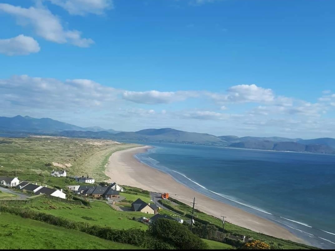
Add your own picture and explain the route, parking, gates, paths or landmarks that help people find it.
Earn 5 points after the picture is checked and accepted.
Add your photo and local directionsShare what you foundWhat is recorded here
Marked on the 1841-42 OS map as a circular enclosure, this site is not as clearly marked on the later 1939 map. Today most of the enclosure has been destroyed by the erection of farm buildings. The remaining sector of the enclosing bank on the S side is 4m-5m wide and 1.8m high at its highest point.
The above description is derived from C. Toal, ‘North Kerry Archaeological Survey’. Dingle. Brandon in association with FAS Training and Employment Authority (1995), no. 1051. In certain instances the entries have been revised and updated in the light of recent research.
Date of upload: 3 August 2013
This remains an important historical record, but the official description says the monument is no longer visible or has been destroyed.
The monument record does not grant public access. Check the route and ask the landowner before entering private land.