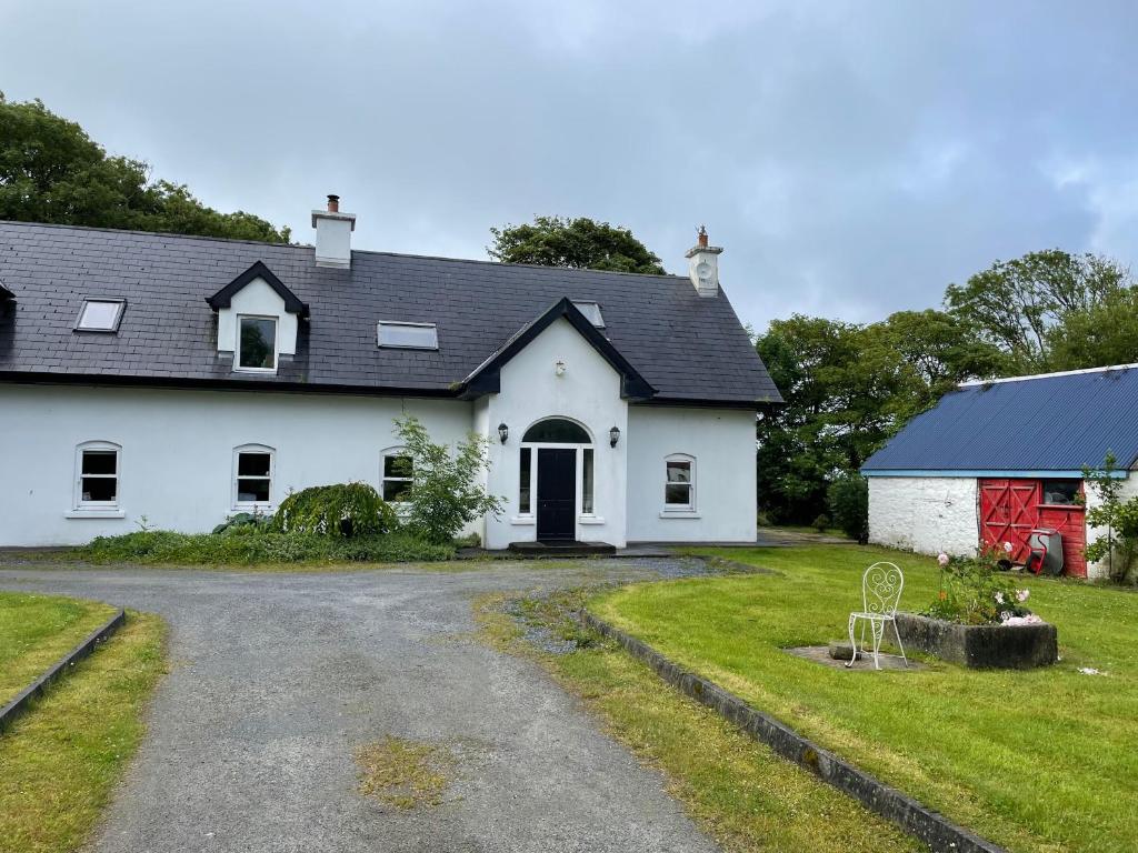
Add your own picture and explain the route, parking, gates, paths or landmarks that help people find it.
Earn 5 points after the picture is checked and accepted.
Add your photo and local directionsShare what you foundWhat is recorded here
Marked on the 1841-42 OS map as 'Kyle Burial Ground for Children' it appears as a circular enclosure (KE010-035001-) on the 1939 map without a map designation. Today this site consists of a circular area surrounded by a well-defined earthen bank. The bank is quite steep from the crest to the exterior, but slopes gently from the crest to the interior. The internal diameter N-S measures 27m, while the external diameter measures 30m. The width of the bank at the base ranges from c 1.6m-3m. The external height of the bank measures c 1.5m while the height above the interior measures c l.8m. There are three breaks in the bank: one to the W c 2m wide, to the E c 4m wide, and SSW 8m wide.
The above description is derived from C. Toal, ‘North Kerry Archaeological Survey’. Dingle. Brandon in association with FAS Training and Employment Authority (1995), no. 861. In certain instances the entries have been revised and updated in the light of recent research.
Date of upload: 3 August 2013
The monument record does not grant public access. Check the route and ask the landowner before entering private land.