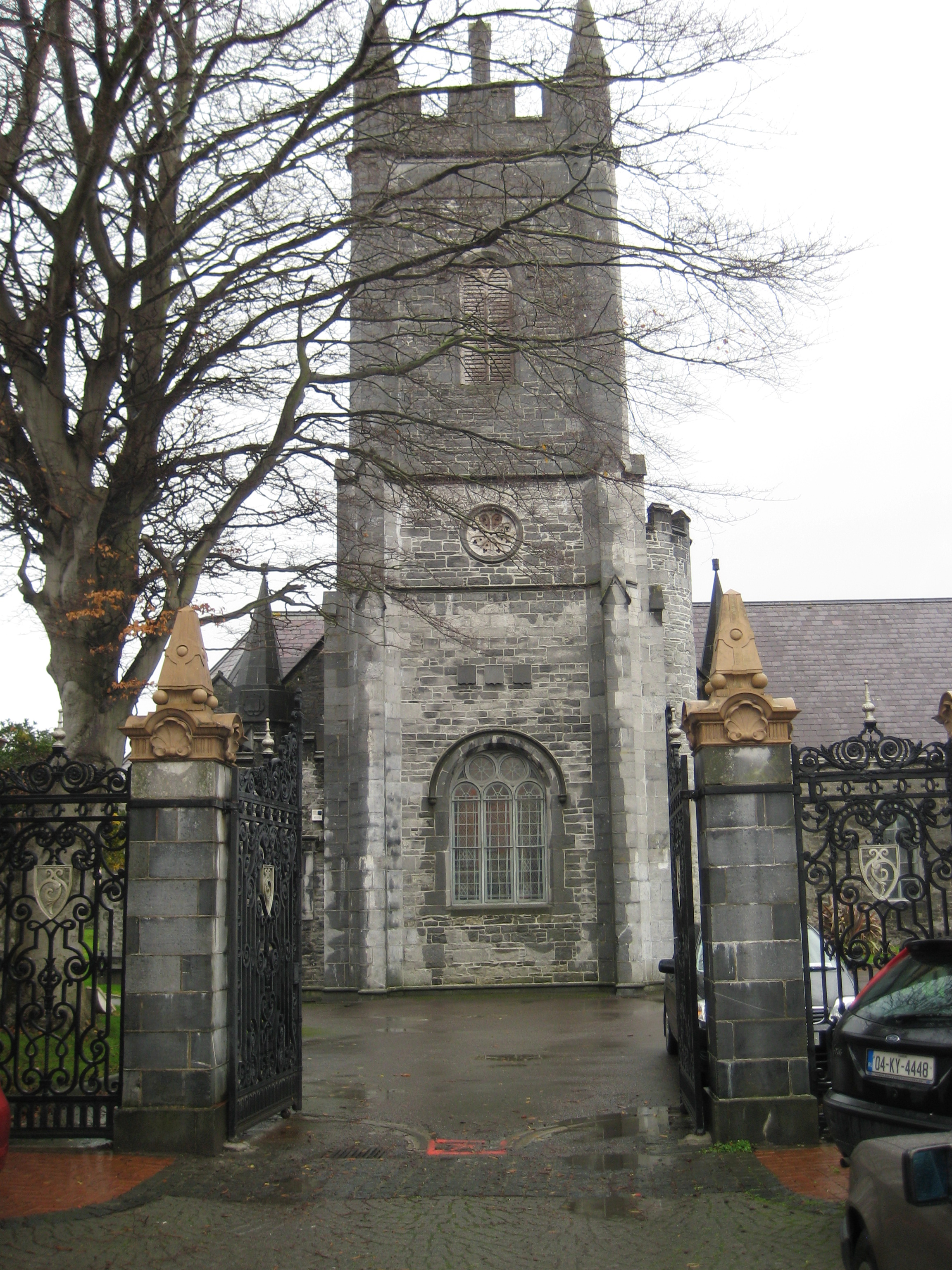
Add your own picture and explain the route, parking, gates, paths or landmarks that help people find it.
Earn 5 points after the picture is checked and accepted.
Add your photo and local directionsShare what you foundWhat is recorded here
Medieval parish church of Galey (Gáile) stands in the townland of Garryard (An Garraí Ard), parish of Galey, diocese of Ardfert, barony of Iraghticonnor. In 1302 the papal taxation of the Diocese of Ardfert valued the Church of '.....ly' (Galey) at 26s. 8d. per annum with the tithe valued at 2s. 8d. (Cal. doc. Ire., Vol. 5, 297). In 1441 there is a reference to 'Donatus Otreanlannayn' (Ó Duinneacháin, Denehan) and the vicarage of the parish church of 'Gaylly' (O'Connell and Costello 1958, 9). The advowson of the vicarage belonged to the Augustinians of Rattoo (KE009-056004-) (ibid.). In 1615 the Royal Visitation of the Diocese of Ardfert recorded the following details; 'Autho Stoughton tenet rectoriam. Vicar of Kilnaghten [KE003-008----] and Galley. John Memor minister able to catechise. Valoris 4 libri. Church and chancell well' (Murphy 1915, 185). Smith (1756, 70) recorded that Galy was 'half the parish vicarial, the church in ruins. Patron, Anthony Stoughton, Esq.; Proxy 5s.' and that the impropriation of Kilnaghtin rectory which formerly belonged to the dissolved religious houses was granted to 'Samuel Raymond, Esq.' (Smith 1756, 70).
In 1841 the Ordnance Survey recorded the following details about this parish church; 'There are no antiquities in this parish but the grave yard in which the old parish church stood, is situated on low ground in the townland of Garryard. Nothing remains of the church but a small fragment of the east gable four feet [1.2m] thick and built of hammered stones and lime and sand cement. About a half mile to the east of the church is the well of Saint Bartholomew [KE010-016----], the patron of the parish' (O'Donovan 1983, 21).
Galey Church site and graveyard described by Toal (1995, no. 940) as follows; 'Galey Church (site of), graveyard (KE010-018001-). No surface trace of this church survives. In 1841, O'Donovan recorded that 'nothing remains of the church but a small fragment of the east gable four feet thick and built of hammered stones and lime and sand cement'.
In 2011 a graveyard survey carried out by Ann Frykler and Robert Hanbidge of Headland Archaeology Ltd. recorded the following details: ‘Within the graveyard [KE010-018001-] there are no visible remains of a church which appears and is labelled as ‘ruinous’ on the OS First Edition 6” Map Sheet 10 (1839). On the later OS 25” Map Sheet 10‐03 (1910), the church ruins are no longer visible and are labelled “Galey Church (Site of)” ' (Hanbidge 2011, 5).
See attached plan of church site and graveyard courtesy of Robert Hanbidge
Revised by: Caimin O'Brien
Date of revised upload: 10 June 2022
This remains an important historical record, but the official description says the monument is no longer visible or has been destroyed.
The monument record does not grant public access. Check the route and ask the landowner before entering private land.