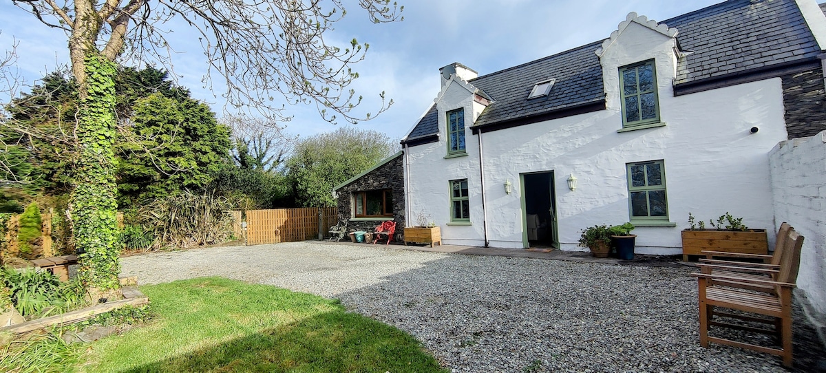
Add your own picture and explain the route, parking, gates, paths or landmarks that help people find it.
Earn 5 points after the picture is checked and accepted.
Add your photo and local directionsShare what you foundWhat is recorded here
In grassland, with cliff-edge fort (KE004-011----) and souterrain (KE004-011001-) 220m to N, promontory fort (KE004-068----) 350m to W, second promontory fort (KE004-018----) 240m to SSW. Grass-covered wall footings of a two-room rectangular-shaped house aligned NNE-SSW on its long axis with possible projecting angle block at N visible on Digital Globe orthoimages taken between 2011-13. Outline of levelled house site visible on Google Earth orthophoto taken 02/04/2021.
See attached Google Earth orthophotos
Compiled by: Caimin O'Brien
Date of upload: 6 October 2022
The monument record does not grant public access. Check the route and ask the landowner before entering private land.