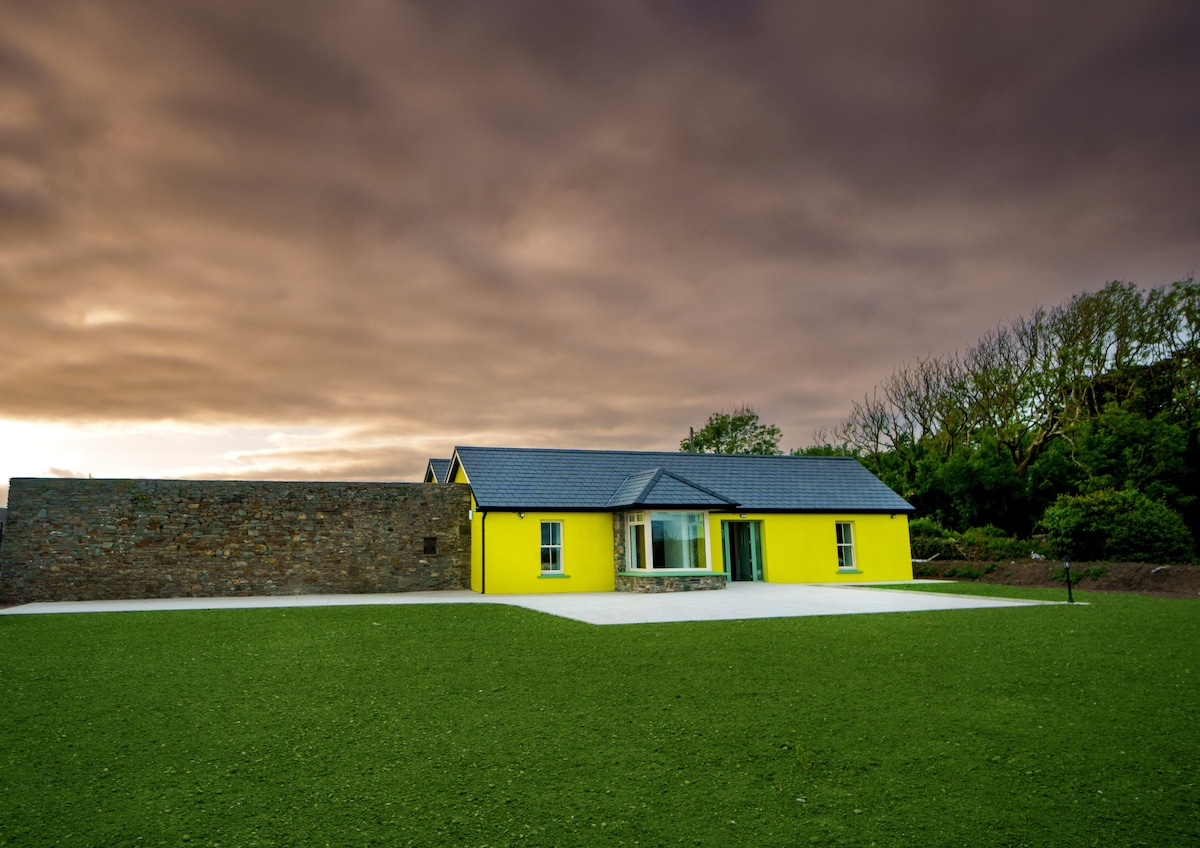
Add your own picture and explain the route, parking, gates, paths or landmarks that help people find it.
Earn 5 points after the picture is checked and accepted.
Add your photo and local directionsShare what you foundWhat is recorded here
Semi-circular shaped area enclosed by low earthen bank within the NW quadrant of the ecclesiastical enclosure (KE002-008003-) transected at E by post-1700 field boundary (Toal 1995, 208, no. 830). Holy Well (KE002-008002-) incorporated into field boundary at N end of enclosure.
See attached plan of Carrig Island ecclesiastical enclosure taken from North Kerry Survey
Compiled by: Caimin O'Brien
Date of upload: 7 January 2022
The monument record does not grant public access. Check the route and ask the landowner before entering private land.