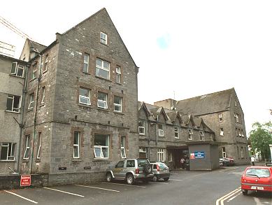
Add your own picture and explain the route, parking, gates, paths or landmarks that help people find it.
Earn 5 points after the picture is checked and accepted.
Add your photo and local directionsShare what you foundWhat is recorded here
Approximately square area (Wth. 38m N-S) originally surrounded by an earthen bank with an external fosse. The cropmark of a bank is visible on three sides, traces of the original bank may have been incorporated into the field fences at the SW and SE. Described in 1955 as having traces of a slight inner bank, with causeways at the SE and NW, and with a small field attached at the W.
Aerial photograph (GB89.R.13) shows a rectangular enclosure, probably a moated site; remnants of fosses defined by positive cropmarks.
Date of upload: 6 September 2016
The monument record does not grant public access. Check the route and ask the landowner before entering private land.