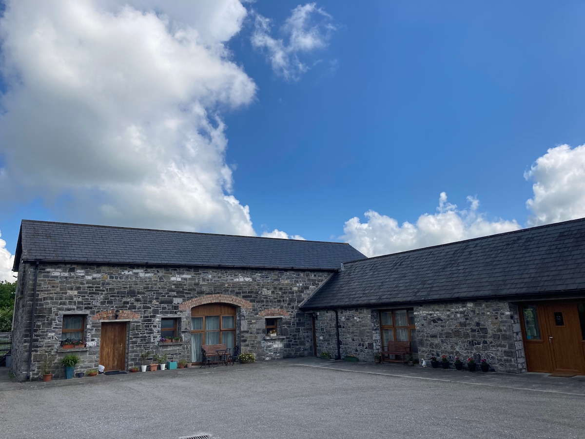
Add your own picture and explain the route, parking, gates, paths or landmarks that help people find it.
Earn 5 points after the picture is checked and accepted.
Add your photo and local directionsShare what you foundWhat is recorded here
Only a few fragments of the structure shown on the 1908 OS 6-inch map are visible in the heavily overgrown area now used as a dump. The rubble consists of roughly coursed, large undressed boulders of granite and limestone. FitzGerald recorded the tradition that this was a castle (FitzGerald 1903-5, 370), but it may also be the ruins of a seventeenth century house?
Compiled by: Gearóid Conroy
The monument record does not grant public access. Check the route and ask the landowner before entering private land.