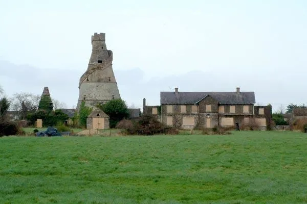
Add your own picture and explain the route, parking, gates, paths or landmarks that help people find it.
Earn 5 points after the picture is checked and accepted.
Add your photo and local directionsShare what you foundWhat is recorded here
Aerial photographs (CUCAP AVM 11; AYL 71) show cropmarks of fosses surrounding a circular areas (est. max diam. c. 45m) with several small sub-rectangular fields extending to SE (see field system No.).
Date of upload: 8 September 2016
The monument record does not grant public access. Check the route and ask the landowner before entering private land.