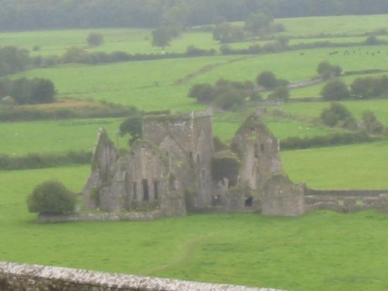
Add your own picture and explain the route, parking, gates, paths or landmarks that help people find it.
Earn 5 points after the picture is checked and accepted.
Add your photo and local directionsShare what you foundWhat is recorded here
In level tillage. Shown on the OS 25-inch map as a large raised oval area (est. diams. c. 50m NW-SE; c. 40m NE-SW) defined by a fosse and a substantial outer bank (est. ext. diams. c. 90m NW-SE; c. 70m NE-SW). Described in 1955 as a slightly raised oval platform with a deep wide fosse and a broad external bank, with a possible entrance causeway at the NW. (Danaher 1955, no. 622). No visible surface trace survived in 1972 (SMR file). Visible on a 1989 aerial photo (GB89.O.03) as the cropmarks of two concentric enclosing a sub-circular area. A curvilinear cropmark visible in the S sector of the interior may be a souterrain (KD035-025001-).
Compiled by: Gearóid Conroy
Date of upload: 13 December 2013
The monument record does not grant public access. Check the route and ask the landowner before entering private land.