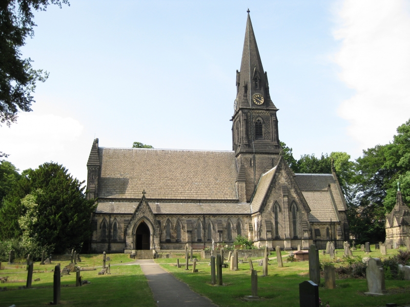
Add your own picture and explain the route, parking, gates, paths or landmarks that help people find it.
Earn 5 points after the picture is checked and accepted.
Add your photo and local directionsShare what you foundWhat is recorded here
A large unenclosed, sub-rectangular graveyard (KD028-052002-) is depicted by a broken line (c. 70m NNW-SSE; c. 50m ENE-SSW) on the 1st ed. (1838) of the OS 6-inch map. The N portion is shown to have been enclosed on the current ed. (1939-40) of the map, which also shows the S portion partially enclosed by a bank and named ‘Rath Nua’ (KD028-052001-). On a moderate N-facing pasture slope. The interior of ‘Rath Nua’ was described in 1972 as containing traces of a large rectangular structure (21m E-W; 6m N-S), possibly a church, to N of centre No visible surface trace of the enclosure or possible church survived in 1986 (SMR file), however, an aerial photograph (GB89.AF.29) shows the cropmark of a broad fosse defining a sub-circular area projecting S from the modern graveyard wall.
Compiled by: Gearóid Conroy
Date of upload: 25 February 2013
The monument record does not grant public access. Check the route and ask the landowner before entering private land.