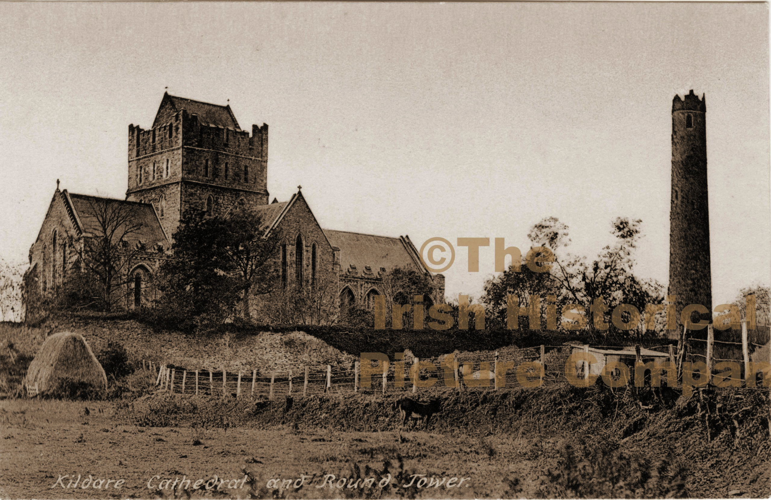
Add your own picture and explain the route, parking, gates, paths or landmarks that help people find it.
Earn 5 points after the picture is checked and accepted.
Add your photo and local directionsShare what you foundWhat is recorded here
In a graveyard (KD018-019003-) in level pasture on the N bank of the River Liffey. A curving arc of poorly preserved, low, broad, earthen bank (Wth 7.5m; int. H 0.4m; ext. H 1.2m) defines the N and E limits (NNW-E-SE) of a possible ecclesiastical enclosure which contains a church site (KD018-019001-) in the NE sector. A gap (Wth 2m) at NNW is probably modern, allowing a gravel path from the N to link up with a path running inside the line of the bank.
Compiled by: Gearóid Conroy
Date of upload: 10 June 2011
The monument record does not grant public access. Check the route and ask the landowner before entering private land.