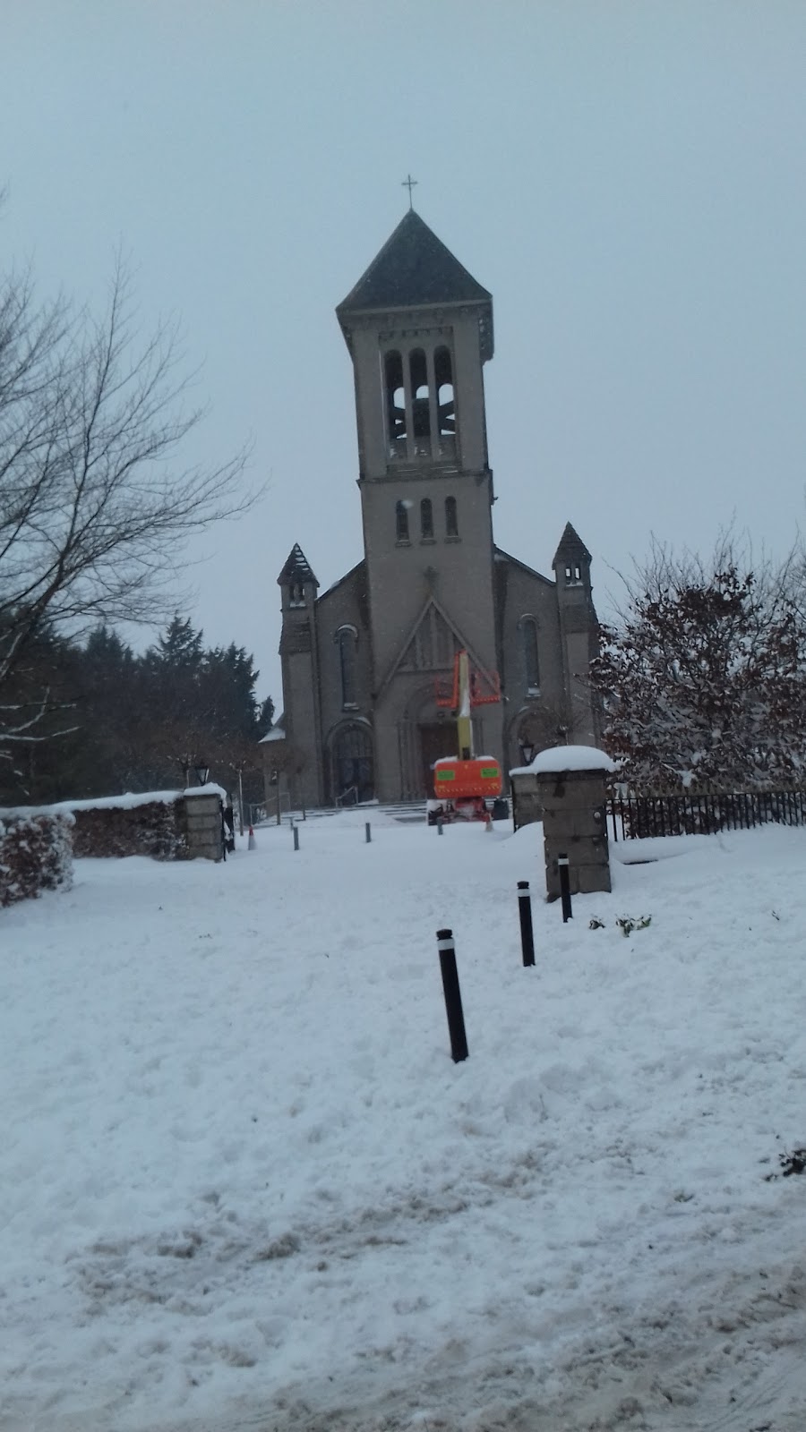
Add your own picture and explain the route, parking, gates, paths or landmarks that help people find it.
Earn 5 points after the picture is checked and accepted.
Add your photo and local directionsShare what you foundWhat is recorded here
Possibly the 'small friary' mentioned by Tickell (1960, 375) as being in existence in 1731, and a church is shown here on Taylor's 1783 Map of County Kildare. According to the OSL (Herity 2002, 45 (137)), there existed '… the ruins of an old church, the burial ground (KD018-011002-) belonging to which is still in use'. In the S sector of a graveyard (KD018-011002-). This levelled monument survives as a low, grass-covered, rectangular area (dims. L 15.5m E-W; Wth 10.7m; H 0.7m) defined along the N side by low wall facing (H 0.7m) of randomly coursed limestone blocks and spall-stones. A roadside cross (KD018-010----) once stood c. 200m to the NW and a second roadside cross (KD018-012----) existed in the vicinity also.
Compiled by: Gearóid Conroy
Date of upload: 10 June 2011
The monument record does not grant public access. Check the route and ask the landowner before entering private land.