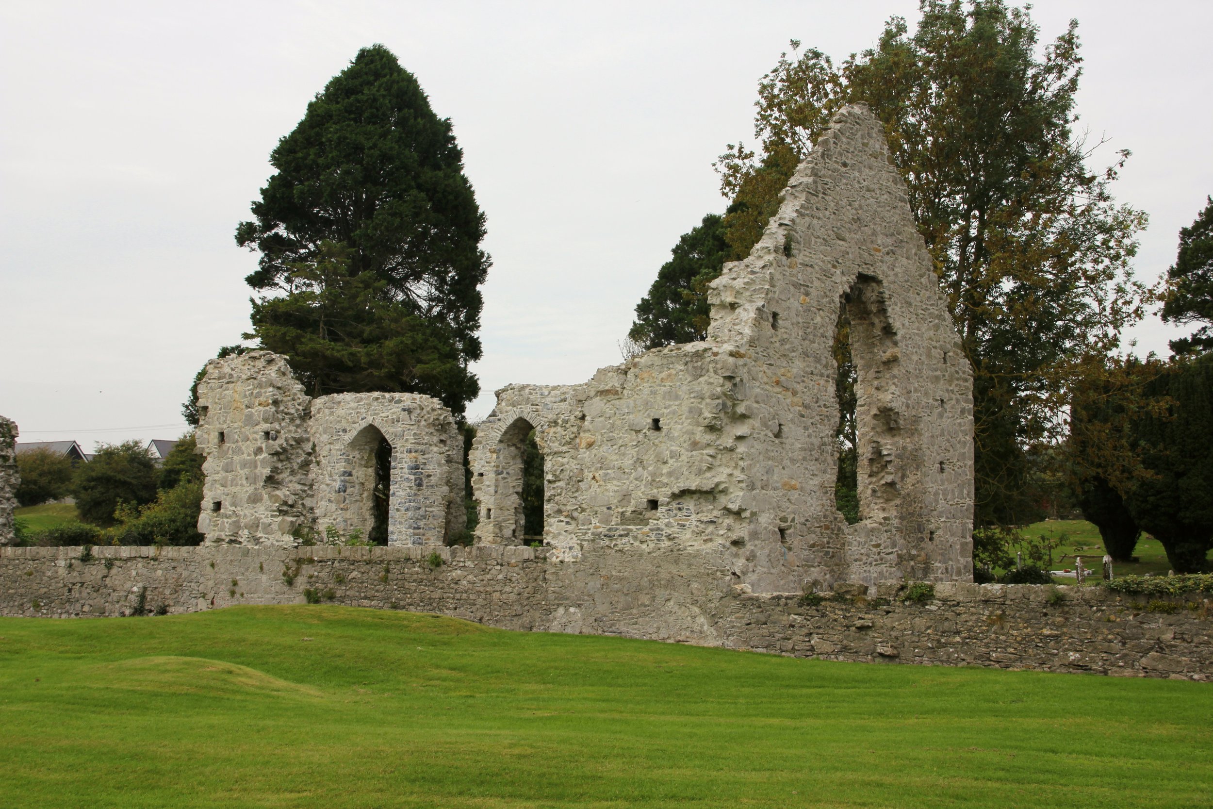
Add your own picture and explain the route, parking, gates, paths or landmarks that help people find it.
Earn 5 points after the picture is checked and accepted.
Add your photo and local directionsShare what you foundWhat is recorded here
At the foot of a gentle W-facing pasture slope. The almost destroyed remains of a cruciform structure comprise a rectangular building (dims. traceable L c. 32m E-W; Wth c. 13m) off the E end of which two transepts run to N and S (dims. traceable L c. 9m E-W; Wth c. 6m). The transepts only survive as shallow, grassed-over, but possibly stone faced, hollows (D 0.5m) while the rest of the building is defined by grassed-over, collapsed walling (Wth 1.5-2m; int H 1.5m; ext. H 0.6m), except at the SW angle where outer wall facing of thin, coursed, small limestone blocks and flags survives. A possible children's burial ground (KD017-008001-) lies immediately to the SW.
Compiled by: Gearóid Conroy
Date of upload: 10 June 2011
The monument record does not grant public access. Check the route and ask the landowner before entering private land.