Add your own picture and explain the route, parking, gates, paths or landmarks that help people find it.
Earn 5 points after the picture is checked and accepted.
Add your photo and local directionsShare what you foundWhat is recorded here
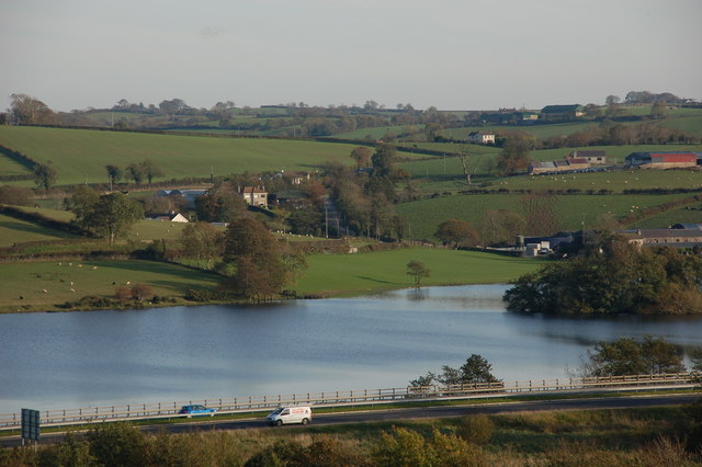
Formerly located in the SW end of Ballin Lough; the lake has subsequently been drained. Shown on the 1838 and 1920 editions of the OS 6-inch map as a small roughly wedge-shaped island (c. 30m NE-SW; c. 7-15m NW-SE). Labelled 'West Island' by Wood-Martin (1886, 222) and described by him as being 'connected' to the lakeshore during 'the dry season'. An 'excavation' conducted by Wood-Martin in the centre of the island produced 'Bog and clay, with a few bones' for the first 0.6m, beneath which 'wood ashes, full of charred bones' were encountered. On inspection the island was not discernible as it lay in a marshy area which was heavily overgrown with reeds and scrub. Two other crannogs (GA125-011---- and GA125-012----) also formerly lay within the lake c. 80m to the ENE and c. 260m to the E respectively.
Compiled by: Galway Archaeological Survey, UCG
Date of upload: 6 January 2020
The monument record does not grant public access. Check the route and ask the landowner before entering private land.