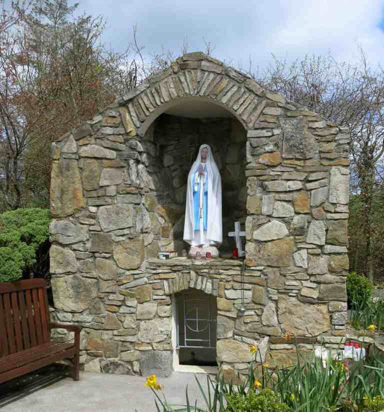
Add your own picture and explain the route, parking, gates, paths or landmarks that help people find it.
Earn 5 points after the picture is checked and accepted.
Add your photo and local directionsShare what you foundWhat is recorded here
In level pastureland. Named ‘Holy Well’ in Gothic script on the 1838 and 1947 editions of the OS 6-inch map. On inspection, all that remained of this dried-up well was a small rectangular depression (0.3m E-W; 0.2m N-S; D 0.25m). Immediately to its W was an irregularly shaped bullaun stone (GA117-091002-). Both the holy well and the bullaun are located on a raised roughly oval-shaped stone-faced platform (9.5m N-S; 7.5m E-W; H 0.5m).
Compiled by: Galway Archaeological Survey, UCG
Date of upload: 9 May 2023
The monument record does not grant public access. Check the route and ask the landowner before entering private land.