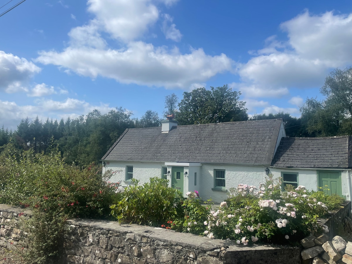
Add your own picture and explain the route, parking, gates, paths or landmarks that help people find it.
Earn 5 points after the picture is checked and accepted.
Add your photo and local directionsShare what you foundWhat is recorded here
In cleared farmland, formerly part of the demesne of Tullira. Marked on the 1838 edition of the OS 6-inch map as a subcircular enclosure; on the 1921 edition it is defined by a curving line of hachures from SW to N. Described in 1973 as ‘a large oval flatish area demarcated by a low scarp’, 77m N-S by 68m E-W approx. Old cultivation ridges ran ENE-WSW through the interior. A ‘hut site’ (GA114-165001-) was noted in the ESE sector of the interior (SMR file). On inspection in November 1982 apart from traces of a slight scarp at N, no visible surface trace of the enclosure survived. However, its outline as depicted on the 1921 6-inch map is visible on Google Earth aerial imagery (Google 2019). (McCaffrey 1952, 288, no. 66)
Compiled by: Galway Archaeological Survey, UCG
Date of upload: 16 July 2019
The monument record does not grant public access. Check the route and ask the landowner before entering private land.