Add your own picture and explain the route, parking, gates, paths or landmarks that help people find it.
Earn 5 points after the picture is checked and accepted.
Add your photo and local directionsShare what you foundWhat is recorded here
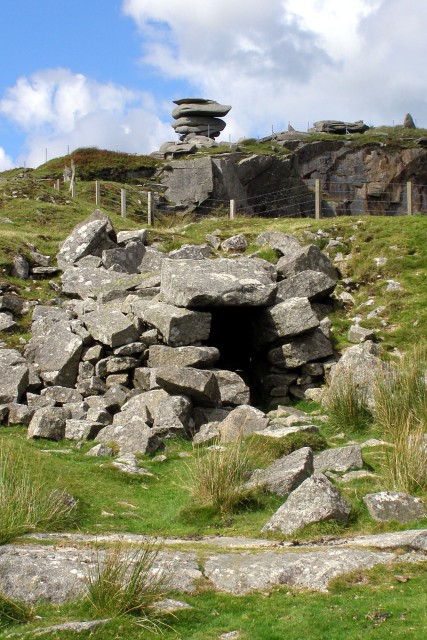
In the NW quadrant of a cashel (GA113-068001-). When initially visited by the Survey in October 1982 this drystone-built L-shaped souterrain (L c. 14.8m) was partly accessible. It consisted of two passages which were separated from each other by an area of collapse. The shorter 1st passage (L 5.3m; Wth 2m) ran E-W and access to it was gained at its E end. Two jamb stones were evident towards the rear of the passage, beyond which the 2nd longer passage (L c. 9.5m; Wth 1.7m), running N-S, extended from its NW end. Here there was evidence of a possible creep. Access to the 2nd passage was not possible. However, some of its lintels were exposed on the ground surface and through a gap between two broken lintels it was possible to get a profile indicating the it was 1.72m wide and 0.9m high. On a revisit in 1992 the souterrain was completely inaccessible due to the dumping of rubbish within the interior of the cashel.
Compiled by: Galway Archaeological Survey, UCG
Date of upload: 10 January 2017
The monument record does not grant public access. Check the route and ask the landowner before entering private land.