Add your own picture and explain the route, parking, gates, paths or landmarks that help people find it.
Earn 5 points after the picture is checked and accepted.
Add your photo and local directionsShare what you foundWhat is recorded here
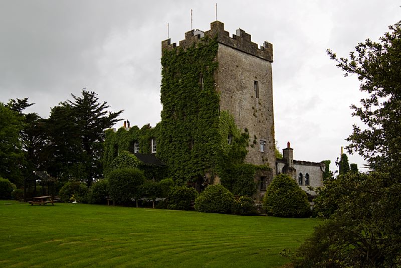
In gently undulating farmland overlooking a stream to the SE. In existence in 1574 when it was in the possession of 'Shane McVillig and McWilliam Roe of Ballindrumnine' (Nolan 1901, 111). Named 'Castle' on the 1837 edition of the OS 6-inch map and indicated thereon as a roofed square building (c. 12m NE-SW; c. 12m NW-SE). On the 1933 edition, the E wall (L c. 10m) and the returns of the N and S walls are shown but there is no trace of the W side. It is depicted on the summit of a small circular earthwork. All that survives is a low
subcircular mound (40m N-S; 31m E-W) composed of earth and stones. Its surface is very uneven.
Compiled by: Olive Alcock
Date of upload: 17 August 2021
This remains an important historical record, but the official description says the monument is no longer visible or has been destroyed.
The monument record does not grant public access. Check the route and ask the landowner before entering private land.