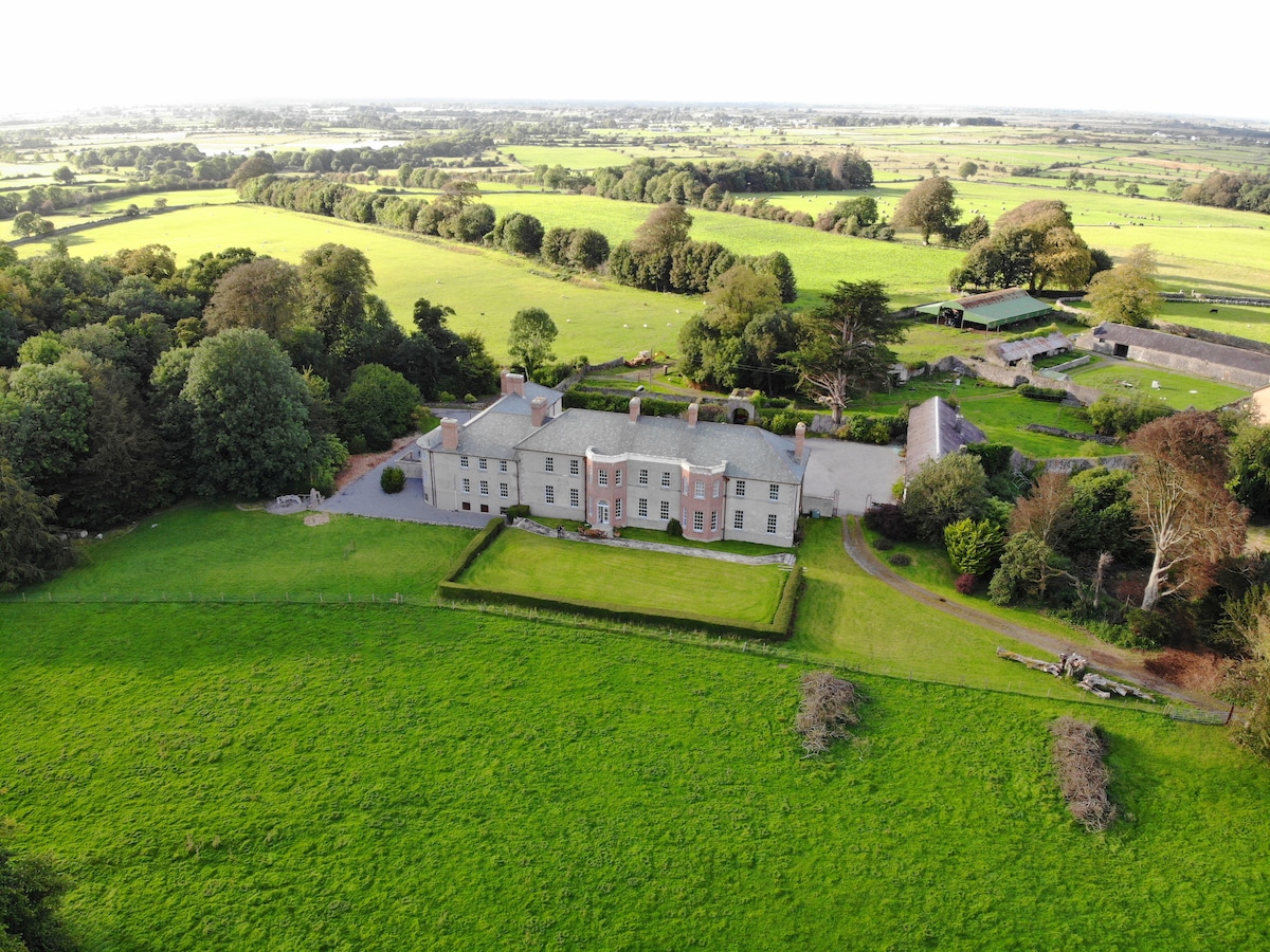
Add your own picture and explain the route, parking, gates, paths or landmarks that help people find it.
Earn 5 points after the picture is checked and accepted.
Add your photo and local directionsShare what you foundWhat is recorded here
On a S-facing slope overlooking the Dunkellin River. A curving line of hachures on the 1933 edition of the OS 6-inch map indicates the NW sector of a large D-shaped enclosure. According to Redington (1912a, 69), it was known locally as ‘Caher na Erle (the Earl’s Caher)’. She described it as ‘the foundations of a huge caher, forming a rough enclosure rather more than a semicircle in shape, cut away on the southern side by the cliff of the river bank’. She also noted ‘a mound’ in the NW sector which was said to be the site of ‘Clanrickarde’s Chair’ (see GA103-102001-). No visible surface trace of the enclosure survives but its line is preserved in a number of field banks curving from SW through N to ENE (c. 110m NE-SW). A house and shed have been built in the E sector of the interior. A castle (GA103-120002-) stands 150m to the SE, on the opposite bank of the river. (Westropp 1919, 179; McCaffrey 1952, 192, no. 95)
Compiled by: Galway Archaeological Survey, UCG
Date of upload: 27 August 2019
The monument record does not grant public access. Check the route and ask the landowner before entering private land.