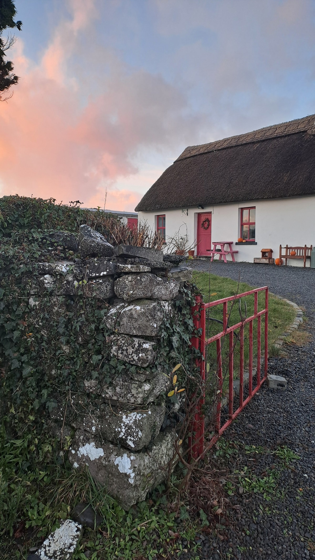
Add your own picture and explain the route, parking, gates, paths or landmarks that help people find it.
Earn 5 points after the picture is checked and accepted.
Add your photo and local directionsShare what you foundWhat is recorded here
On Tawin Island in low-lying commonage, on a low rise, c. 35m to the ESE another enclosure (GA102-040----). This surectangular area (dims. 10m ENE-WSW; 8m NNW-SSE) came to light following aerial reconnaissance by Markus Casey in August 1999 (SMR file). It is defined by the remains of low bank (Wth 5.5m; int. H 0.15m; ext. H 0.95m) along the SW and NW sides and by gentle scarp (Wth 3.5m; H 0.3m) to the NW and NE. It may be a natural rise in the field which was enclosed by field banks. Field walls associated with the field system (GA102-040003-) radiate from it at NW and NE.
Compiled by: Olive Alcock
Date of upload: 10 July 2019
The monument record does not grant public access. Check the route and ask the landowner before entering private land.