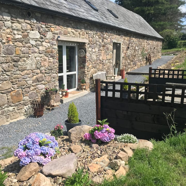
Add your own picture and explain the route, parking, gates, paths or landmarks that help people find it.
Earn 5 points after the picture is checked and accepted.
Add your photo and local directionsShare what you foundWhat is recorded here
In gently undulating grassland. Noted during aerial reconnaissance in November 1987 (ASGAP 377:23, 29-30). Very poorly preserved roughly D-shaped enclosure (E-W c. 120m) defined from E to S by a low earthen bank (Wth 3m, H 0.2m) and external fosse, and from S to WNW by a scarp (H 0.4m); no trace of it survives elsewhere. The interior rises to a low rocky hillock defined along its NW side by a natural scarp. A number of modern field banks cut across the monument.
The above description is derived from the published 'Archaeological Inventory of County Galway Vol. II - North Galway'. Compiled by Olive Alcock, Kathy de hÓra and Paul Gosling (Dublin: Stationery Office, 1999).
Date of upload: 05 August 2010
The monument record does not grant public access. Check the route and ask the landowner before entering private land.