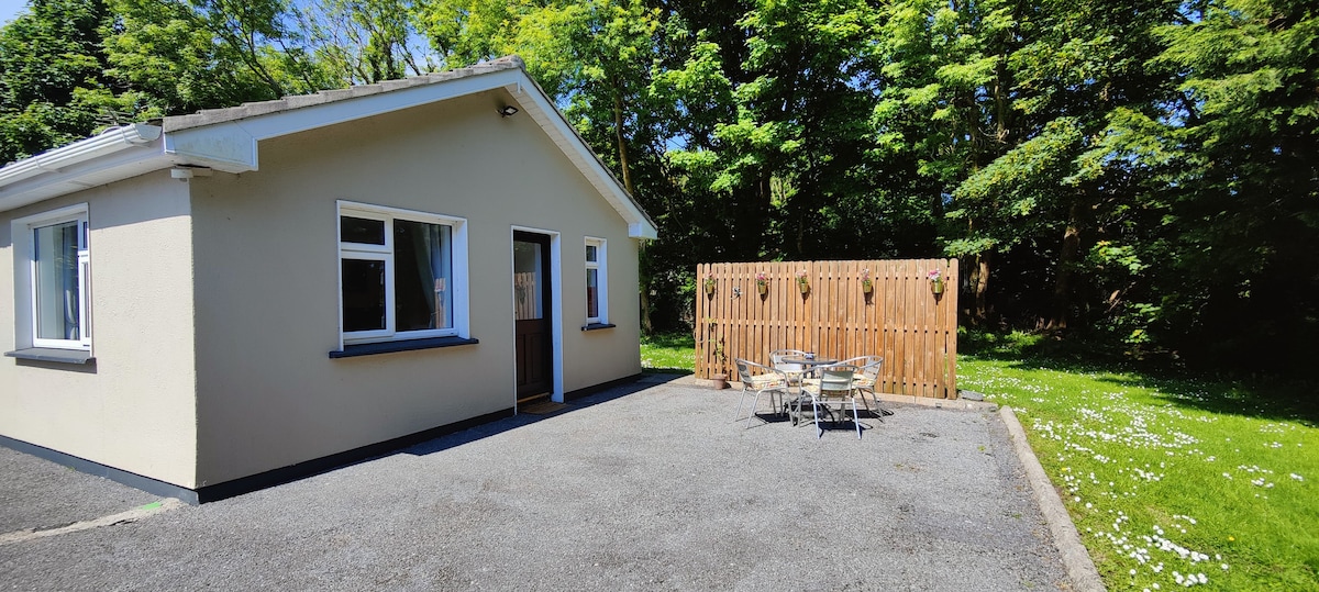
Add your own picture and explain the route, parking, gates, paths or landmarks that help people find it.
Earn 5 points after the picture is checked and accepted.
Add your photo and local directionsShare what you foundWhat is recorded here
On an E-facing slope in grassland. This poorly preserved roughly subrectangular enclosure (c. 57m NE-SW; c. 45m NW-SE) is defined by a bank of earth and stone. A NW-SE running field wall cuts across it at WNW and S and no visible surface trace of the bank survives to the SW of it. No trace of a fosse is evident. Abutting the monument at E is a subrectangular enclosure (GA099-104001-) which may be associated.
Compiled by: Galway Archaeological Survey, UCG
Date of upload: 17 April 2019
The monument record does not grant public access. Check the route and ask the landowner before entering private land.