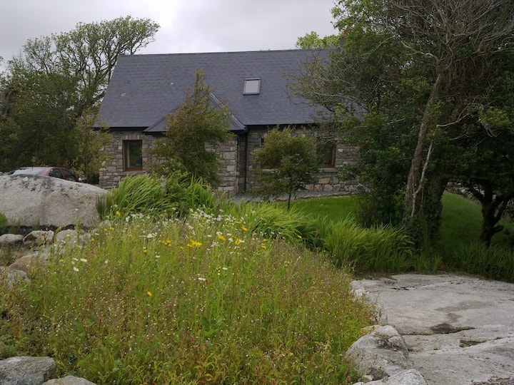
Add your own picture and explain the route, parking, gates, paths or landmarks that help people find it.
Earn 5 points after the picture is checked and accepted.
Add your photo and local directionsShare what you foundWhat is recorded here
Within the N sector of a cashel (GA097-049----). This souterrain (L >13.5m) has collapsed and consists of two rectangular stone-filled depressions. That to E runs NNE-SSW (L 4m; Wth 1.8m). The other lies some 7m to WNW of its SW end. It runs NNW-SSE (L 2.5m). A number of displaced roof-lintels are visible in both depressions. The souterrain appears to have been L-shaped in plan though no visible surface trace of it survives between the junction of the two depressions.
Compiled by: Galway Archaeological Survey, UCG
Date of upload: 13 January 2017
The monument record does not grant public access. Check the route and ask the landowner before entering private land.