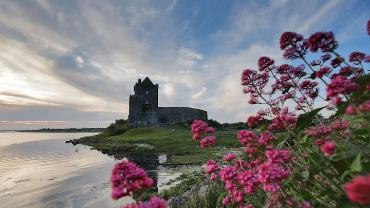
Add your own picture and explain the route, parking, gates, paths or landmarks that help people find it.
Earn 5 points after the picture is checked and accepted.
Add your photo and local directionsShare what you foundWhat is recorded here
Within the W half of a possible rath (GA097-040----). Named 'Cave' on the 1838 and editions of the OS 6-inch map. A band of thick grass and nettles (L 12m; Wth 3m) running NE-SW may indicate the line of the souterrain; otherwise no visible surface trace survives.
Compiled by: Galway Archaeological Survey, UCG
Date of upload: 19 July 2019
The monument record does not grant public access. Check the route and ask the landowner before entering private land.