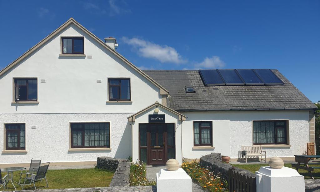
Add your own picture and explain the route, parking, gates, paths or landmarks that help people find it.
Earn 5 points after the picture is checked and accepted.
Add your photo and local directionsShare what you foundWhat is recorded here
In level pastureland. Described by Orpen (1916, 33-5) as a circular rath (diam. c. 48m) defined by ‘two concentric circular ramparts … with intervening ditch’. A ‘trace of a souterrain’ (GA096-125001-) lay within the interior. Cody (1989, 281-2, no. 107) noted that the monument had been levelled and, apart from a slight roughness in the ground surface, no visible surface trace of it or the souterrain survived. However, the outline of the rath is clearly visible on the OSi digitalglobe aerial photography.
Compiled by: Galway Archaeological Survey, UCG
Date of upload: 17 June 2019
The monument record does not grant public access. Check the route and ask the landowner before entering private land.