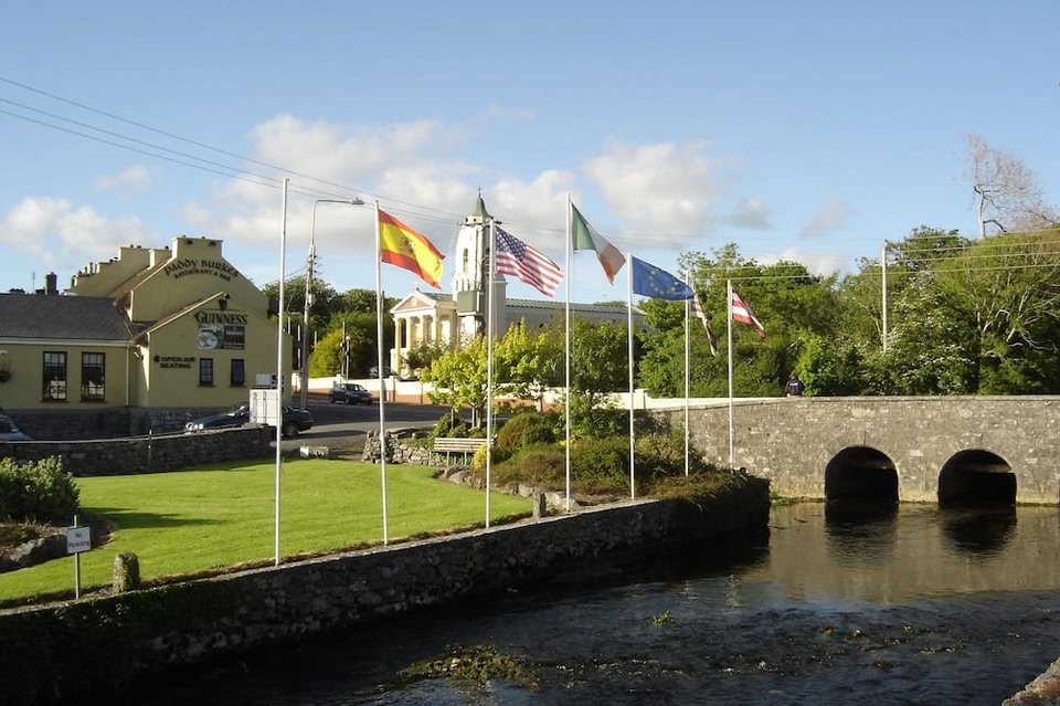
Add your own picture and explain the route, parking, gates, paths or landmarks that help people find it.
Earn 5 points after the picture is checked and accepted.
Add your photo and local directionsShare what you foundWhat is recorded here
On a gentle SW-facing slope in undulating pastureland. Poorly preserved circular rath (diam.
43.7m) defined by two banks and an intervening fosse. The inner bank and fosse are best preserved from SW to NW; elsewhere the bank has been levelled and pushed into the fosse, however, its line is indicated by a low scarp. The outer bank survives at S and from SW to NW. No visible surface trace survives of the stone-facing noted by McCaffrey (1952, 139-40, no. 35). (Athy 1914, 134)
Compiled by: Galway Archaeological Survey, UCG
Date of upload: 14 December 2017
The monument record does not grant public access. Check the route and ask the landowner before entering private land.