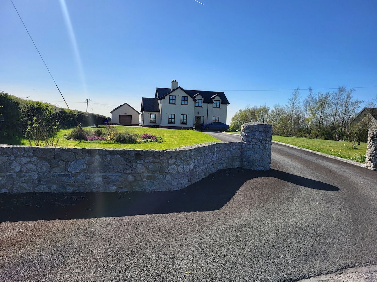
Add your own picture and explain the route, parking, gates, paths or landmarks that help people find it.
Earn 5 points after the picture is checked and accepted.
Add your photo and local directionsShare what you foundWhat is recorded here
On N end of a N-S running ridge, 1km W of New Inn; it is situated in on oval graveyard (ESE-WNW 50m, NNE-SSW 30m) defined by a stone wall. Marked on 1st ed. of OS 6-inch map as roofed rectangular building (c. 15m by c. 5m), aligned WNW-ESE but OS Letters (O'Flanagan 1927, Vol. 1, 651) state that 'no part of [it] remains'. All that stands are two large fragments (H c. 4m) of a very poorly preserved building (NW-SE; L >8m, Wth >5.3m), complex in plan, probably of medieval date. The northernmost fragment is that of NW gable (L 5.3m, Wth 0.85m) at the rough centre of which is a robbed-out doorway. Above it, externally, a sloping gable line is visible, indicating that an eccentrically placed structure formerly adjoined it. The southernmost fragment, c. 5m to S of the gable, is a T-shaped fragment of masonry. This comprises a section of SE side-wall of the building (L 3m, Wth 0.8m) which is abutted internally by a later dividing wall (L 1.85m, Wth 0.4m). A number of projecting stones visible at S end of SE side-wall also suggest the former presence of a second external adjoining structure. A number of architectural fragments, including part of a Y-traceried window with multiple cusps and the head of a twin-light cusped ogee-headed window, are visible in the surrounding graveyard. The remains are probably those of a church though they could also be of a domestic building, possibly associated the medieval grange of td. name. A field system (GA086-133002-) lies to SW and W.
The above description is derived from the published 'Archaeological Inventory of County Galway Vol. II - North Galway'. Compiled by Olive Alcock, Kathy de hÓra and Paul Gosling (Dublin: Stationery Office, 1999).
Date of upload: 05 August 2010
The monument record does not grant public access. Check the route and ask the landowner before entering private land.