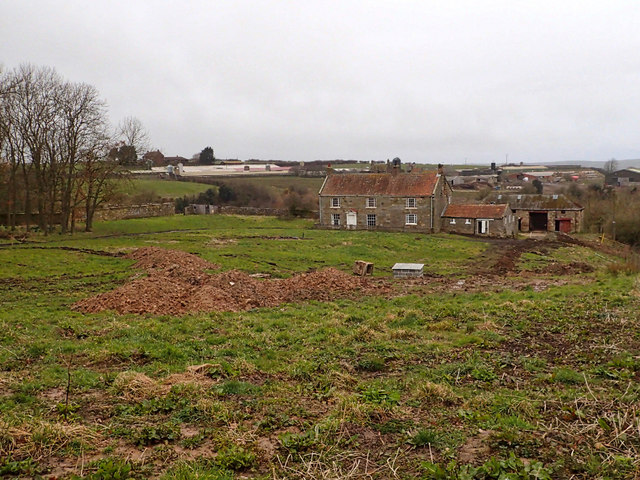
Add your own picture and explain the route, parking, gates, paths or landmarks that help people find it.
Earn 5 points after the picture is checked and accepted.
Add your photo and local directionsShare what you foundWhat is recorded here
On level pastureland which is subject to seasonal flooding. Marked on OS 6-inch maps as the site of a 'Nunnery'. The OS Letters (O'Flanagan 1927, Vol. 1, 242) record that here 'stands a small portion of a wall said to have belonged to a nunnery. The extent of the edifice of which this is a remnant, appears from the vestiges of the foundation as yet traceable, to have been 15 yards by 8 yards [13.7m by 7.3m]'. No visible surface trace survives. Possibly part of the friary (GA060-027002-) of Caltra, the probable site of which lies in the village, 1.25km to SW: the OS Letters (ibid.), considered it likely that this was 'a small chapel belonging to the establishment'. A CBG (GA060-026002-) and an enclosure (GA060-026003-) are associated.
The above description is derived from the published 'Archaeological Inventory of County Galway Vol. II - North Galway'. Compiled by Olive Alcock, Kathy de hÓra and Paul Gosling (Dublin: Stationery Office, 1999).
Date of upload: 05 August 2010
The monument record does not grant public access. Check the route and ask the landowner before entering private land.