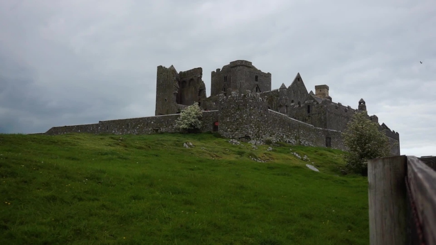
Add your own picture and explain the route, parking, gates, paths or landmarks that help people find it.
Earn 5 points after the picture is checked and accepted.
Add your photo and local directionsShare what you foundWhat is recorded here
To S and SW of a tower house (GA058-045001-). Traces of earthworks are visible covering an area 300m E-W by 200m N-S. These include the foundations of at least eleven drystone-built rectangular houses (L c. 11m Wth c. 4.5m) and associated field walls which form no obvious pattern. A possible roadway (L 50m, Wth 10m), defined by two parallel drystone walls, is also visible.
The above description is derived from the published 'Archaeological Inventory of County Galway Vol. II - North Galway'. Compiled by Olive Alcock, Kathy de hÓra and Paul Gosling (Dublin: Stationery Office, 1999).
Date of upload: 05 August 2010
The monument record does not grant public access. Check the route and ask the landowner before entering private land.