Add your own picture and explain the route, parking, gates, paths or landmarks that help people find it.
Earn 5 points after the picture is checked and accepted.
Add your photo and local directionsShare what you foundWhat is recorded here
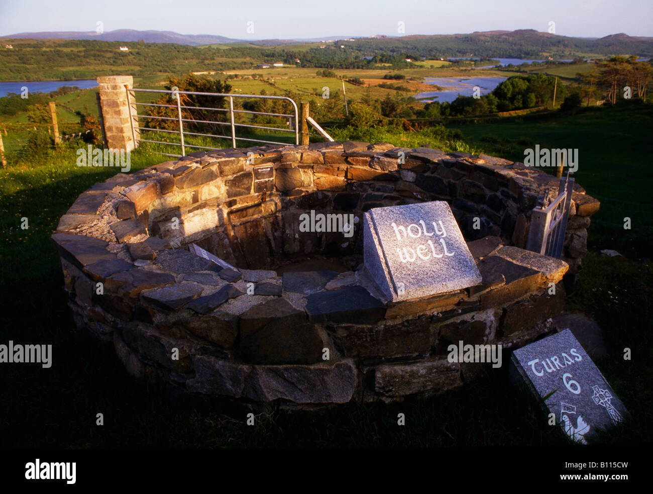
Just above HWM on N shore of the island. The well (GA050-010001-) and the 'Monument' (GA050-010003-) indicated on OS 6-inch maps as being dedicated to St Brendan are locally associated with St Columcille and visited on his day (pers. comm. T. Robinson). The well consists of a small smooth rounded pothole (D c. 0.3m) on a flat rock outcrop. A semicircular drystone cairn (GA050-010002-) (D 1.2m, H 1.2m) has been built around its S side. Circa 1m SE is the 'Monument': this is a similar cairn, D-shaped in plan (D 1.2m, H 1.45m). Coins and the remains of flowers are visible amongst the stones of both cairns. The well known locally as St Brendan's Well (GA050-010004-) lies 50m to W just below HWM, and consists of a natural pothole (D 0.4m) with an irregular cairn (GA050-010005-) (H 1.2m) above it (info. T. Robinson). Noted by O'Flaherty in 1684 as a 'place in memory of St. Brendan' (Hardiman 1846, 104). (Killanin 1954, 101; Killanin and Duignan 1967, 418)
The above description is derived from the published 'Archaeological Inventory of County Galway Vol. I - West Galway'. Compiled by Paul Gosling (Dublin: Stationery Office, 1993).
Date of upload: 12 August 2016
The monument record does not grant public access. Check the route and ask the landowner before entering private land.