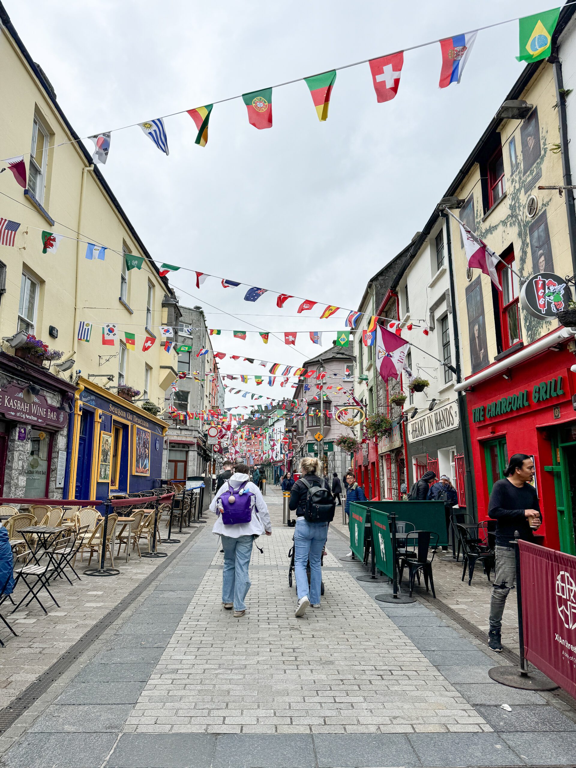
Add your own picture and explain the route, parking, gates, paths or landmarks that help people find it.
Earn 5 points after the picture is checked and accepted.
Add your photo and local directionsShare what you foundWhat is recorded here
Below HWM at N end of Roundstone Bay. Associated locally with St Columcille, it consists of a fine, smooth, deep, round pothole (D 0.3m), with the remains of a small cairn on the rock outcrop beside it to E (info. T. Robinson). Not visited.
The above description is derived from the published 'Archaeological Inventory of County Galway Vol. I - West Galway'. Compiled by Paul Gosling (Dublin: Stationery Office, 1993).
Date of upload: 05 August 2010
The monument record does not grant public access. Check the route and ask the landowner before entering private land.