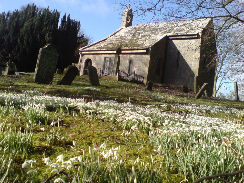
Add your own picture and explain the route, parking, gates, paths or landmarks that help people find it.
Earn 5 points after the picture is checked and accepted.
Add your photo and local directionsShare what you foundWhat is recorded here
In woodland on the S side of a drumlin close to a stream and c. 50m to the N of a burial ground (GA040-007----). This holy well is roughly subcircular in plan (dim. 1m; D 0.4m) and is defined by an arc of small boulders with traces of walling at W and N (max. H 0.4m) where it is set into the slope. It appears to have a stone base and it opens to the S. It is still in use and votive offerings include small statues (information from M. Gibbons). (Gosling 1993, 177)
Compiled by: Olive Alcock with information supplied by M. Gibbons
Date of upload: 15 March 2021
The monument record does not grant public access. Check the route and ask the landowner before entering private land.