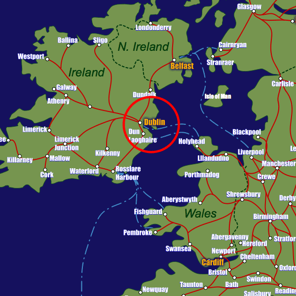
Add your own picture and explain the route, parking, gates, paths or landmarks that help people find it.
Earn 5 points after the picture is checked and accepted.
Add your photo and local directionsShare what you foundWhat is recorded here
Located on a W-facing slope under rough pasture with views of Piperstown Hill to the N and Glenasmole to the SW. Two of five parallel lines of boulders described by Healy (1961, 117) survive. They comprise of closely set granite boulders (H 0.6-1.15m) placed on their long axis running NW-SE towards Piperstown Hill and the head of the Glenasmole-Glencree Valley. The lines are c. 20m apart and are probably the robbed remains of field walls of uncertain date.
Compiled by: Geraldine Stout and Padraig Clancy
Revised upload on: 15 July 2018
The monument record does not grant public access. Check the route and ask the landowner before entering private land.