Add your own picture and explain the route, parking, gates, paths or landmarks that help people find it.
Earn 5 points after the picture is checked and accepted.
Add your photo and local directionsShare what you foundWhat is recorded here
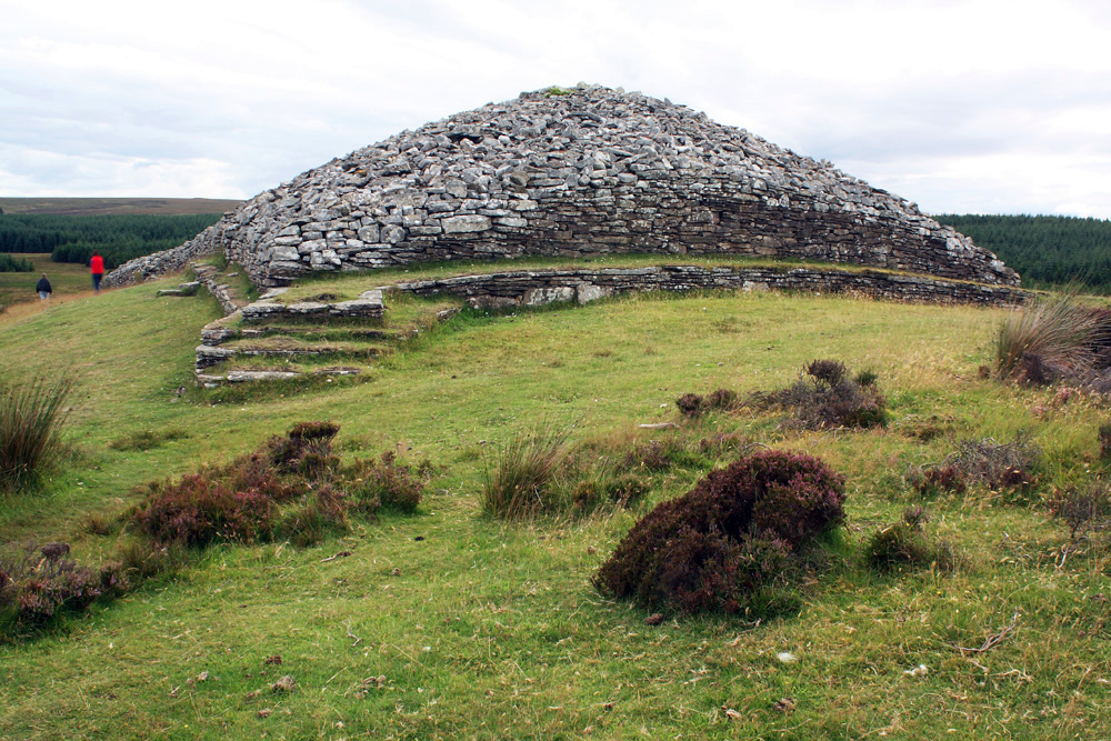
Situated on on the S slopes of Piperstown Hill. A cairn known as Site K. ‘Site K: Before excavation this site appeared as an irregular, low cairn of stones, measuring about 3.50 – 4.0 m. in diameter and about 50 cm. in maximum height.’ Excavations in 1962 revealed that the cairn was demarcated by six orthostats set at intervals around its perimeter. These varied from 0.43m to 0.58m in height and five of the six were inclined outwards, apparently pushed out by the weight of the cairn. Centrally set within the cairn was a circular, flat-bottomed pit which, though disturbed, contained a layer of charcoal and created bone at the bottom. Lying on the northern edge of the bone deposit was a small flake of whitish-grey flint' (Rynne and Ó hEailidhe 1965, 66-9, 77). This is part of an extensive settlement and cemetery of Late Neolithic/Early Bronze Age date.
Compiled by: Paul Walsh and Padraig Clancy
Revised upload on: 8 July 2018
The monument record does not grant public access. Check the route and ask the landowner before entering private land.