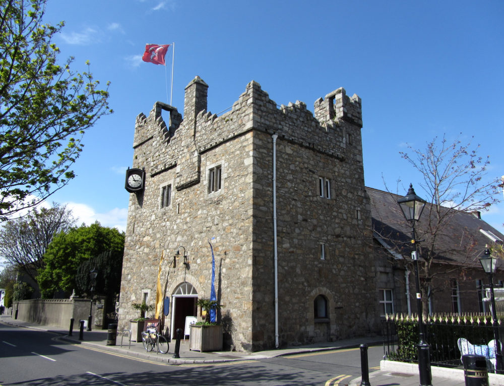
Add your own picture and explain the route, parking, gates, paths or landmarks that help people find it.
Earn 5 points after the picture is checked and accepted.
Add your photo and local directionsShare what you foundWhat is recorded here
A stone building excavated at 62 Castle Street by John Kavanagh under licence 02E1871. The building occupied the NW corner of the site and extended out under Dalkey Avenue to the W. The foundation rubble of the E wall and the lowest course of stone of the N wall survived. A very small portion of the S wall was visible in the E facing section of the site. No entrance was found.
To facilitate the construction of the E wall a large linear foundation trench, 14m in length and 2.25m wide, was excavated. The poorly preserved east wall was 14m in length and consisted of irregularly shaped granite stones, laid down in a rather haphazard fashion. The foundations had a maximum width of 1.6m and height of 0.42m.
The N wall had a length of 4.5m and extended into the W baulk. The surviving stone course had a width of 1.1m resting on a foundation that was 1.6m wide. The N end of the interior had to be artificially raised to level the surface. A layer of rough cobbling was laid down over 0.35m of redeposited clay. Much of the cobbling was in very poor condition but small areas had remained in situ.
Historical and cartographic sources indicated that the building was in ruins by the middle of the 18th century. The site stratigraphy suggested that the building may have been in ruins by the 17th century. From at least the 17th century onwards, silt, sands and gravels began to accumulate in the north-east corner of the site. A sherd of 17th-century Frechen pottery was recovered from the lower layer of sands and silts.
Compiled by: Geraldine Stout and Padraig Clancy
Revised upload on: 7 July 2018
The monument record does not grant public access. Check the route and ask the landowner before entering private land.