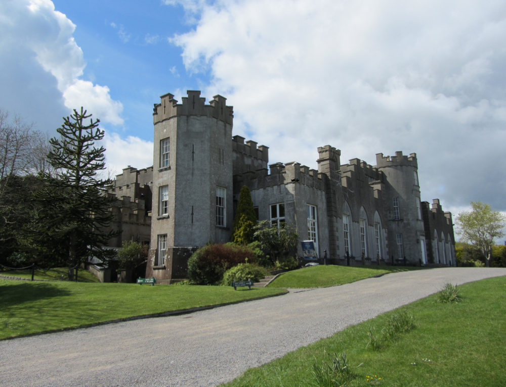
Add your own picture and explain the route, parking, gates, paths or landmarks that help people find it.
Earn 5 points after the picture is checked and accepted.
Add your photo and local directionsShare what you foundWhat is recorded here
Situated north of Foxrock Avenue and to the southwest of Dean's Grange Cemetery A site of a castle at Deansgrange, mentioned in 1900 (Anon 1900, 183) it is thought to be in the vicinity of shops at Dun Aengus (pers coms Liam Clare, Foxrock Historical Society). It is marked but not named on the 1843 OS 6-inch map on the end of lane off Kill lane.
Compiled by: Geraldine Stout and Padraig Clancy
Revised upload on: 6 July 2018
The monument record does not grant public access. Check the route and ask the landowner before entering private land.