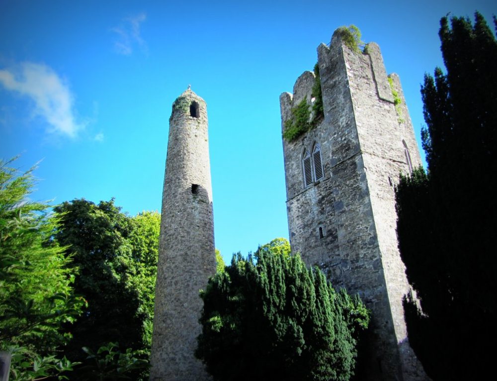
Add your own picture and explain the route, parking, gates, paths or landmarks that help people find it.
Earn 5 points after the picture is checked and accepted.
Add your photo and local directionsShare what you foundWhat is recorded here
Located in steeply sloping, uneven ground at the foot of the Dublin Mountains. Named on the 1843 OS 6-inch map as a large oval enclosure. There is a low earthen mound at the site with thorn bushes growing on it (dims. 13m NE-SW; 12.5m NW-SE; H 0.6-1.2m). This is probably the 'moat' which had nearly disappeared in 1876 (Handcock 1991, 46, 3rd ed. ).
The monument record does not grant public access. Check the route and ask the landowner before entering private land.