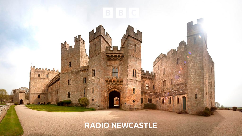
Add your own picture and explain the route, parking, gates, paths or landmarks that help people find it.
Earn 5 points after the picture is checked and accepted.
Add your photo and local directionsShare what you foundWhat is recorded here
The site is located in a level field of tillage W of the road that leads N to Lucan and opposite the present RC church. According to O'Keefe (1986, 55, No. 6) a tower house was indicated in manuscript form on an old copy of the Ordnance Survey 6 inch sheet of the area held by Mr Paddy Healy, Dublin. There are no visible remains at ground level.
Compiled by Geraldine Stout
This remains an important historical record, but the official description says the monument is no longer visible or has been destroyed.
The monument record does not grant public access. Check the route and ask the landowner before entering private land.